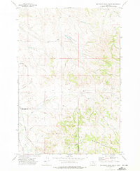
1972 Map of Minnehaha Creek South
USGS Topo · Published 1975About this map
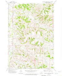
The Little Wolf Mountains define the southern landscape of this 1970s Montana survey, where the border between Treasure and Big Horn counties cuts through a series of dramatic coulees and creek beds. Ranching operations like Wilson Ranch and Hays Ranch are established along the watercourses, supported by numerous wells and natural springs. Evidence of mid-century infrastructure is visible in the pipeline and a remote landing strip situated near the headwaters of Minnehaha Creek. The western edge of the sheet shows the influence of the Burlington Northern Road following the path of Sarpy Creek, indicating the essential role of rail transport in moving resources from the Gravel Pit and livestock from the surrounding drainages of Horse Creek and East Fork.
Find a feature on this map
21 named features on this map. Tap any name to fly to it.
Don’t see what you’re looking for? This feature index may not catch every label — zoom into the map to look around manually.
Map Details
Editions of this 1972 Minnehaha Creek South Map
This is the sole edition of this map. No revisions or reprints were ever made.
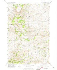
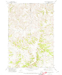
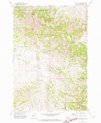
Other maps of this area

1954 · Hardin
USGS Topo · 1:250,000

1954 · Forsyth
USGS Topo · 1:250,000

1957 · Hardin
USGS Topo · 1:250,000

1957 · Forsyth
USGS Topo · 1:250,000

1958 · Forsyth
USGS Topo · 1:250,000

1958 · Hardin
USGS Topo · 1:250,000
1971 · Mc Clure Creek
USGS Topo · 1:24,000
1971 · Griffin Coulee SW
USGS Topo · 1:24,000
1971 · Sarpy School
USGS Topo · 1:24,000
1972 · Minnehaha Creek North
USGS Topo · 1:24,000