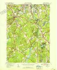
1950 Map of Billerica
USGS Topo · Published 1952About this map
The Concord River winds northward through this landscape, serving as a focal point for settlement and industry between Lowell and Billerica. The map reveals a post-war suburbanizing landscape where remnants of early infrastructure, such as the Middlesex Canal, sit alongside mid-century civic developments like the House of Correction and the Veterans Hospital. Industrial and institutional footprints are prominent, particularly in North Billerica with its Water Works and the Talbot Sch nearby.
Find a feature on this map
74 named features on this map. Tap any name to fly to it.
Don’t see what you’re looking for? This feature index may not catch every label — zoom into the map to look around manually.
Map Details
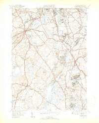
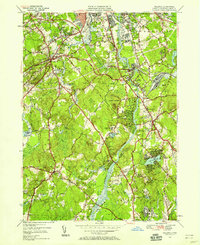
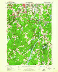
Editions of this 1950 Billerica Map
4 editions found
Other maps of this area

1886 · Lawrence
USGS Topo · 1:62,500

1886 · Lowell
USGS Topo · 1:62,500

1886 · Framingham
USGS Topo · 1:62,500

1888 · Lawrence
USGS Topo · 1:62,500

1889 · Framingham
USGS Topo · 1:62,500

1893 · Lowell
USGS Topo · 1:62,500

1893 · Boston
USGS Topo · 1:62,500

1893 · Lawrence
USGS Topo · 1:62,500

1894 · Framingham
USGS Topo · 1:62,500

1903 · Boston
USGS Topo · 1:62,500