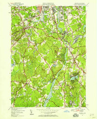
1950 Map of Billerica
USGS Topo · Published 1958About this map
The Merrimack River and Concord River anchor this mid-century survey of the industrial and residential corridors of Middlesex County. As suburbanization began to bridge the gaps between the manufacturing centers of Lowell City and the surrounding townships, significant institutional and municipal infrastructure appeared on the landscape, including the House of Correction and the Lowell Hospital. The influence of early 19th-century transit is still visible through the trace of the Middlesex Canal running parallel to the modern Boston and Maine railroad line.
Find a feature on this map
78 named features on this map. Tap any name to fly to it.
Don’t see what you’re looking for? This feature index may not catch every label — zoom into the map to look around manually.
Map Details
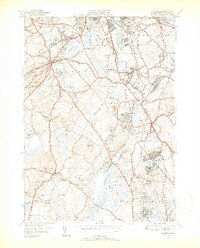
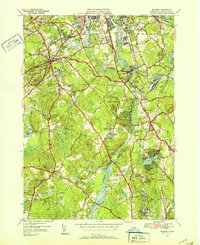
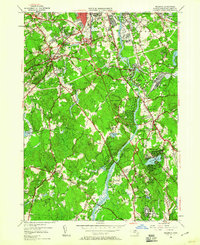
Editions of this 1950 Billerica Map
4 editions found
Other maps of this area

1886 · Lawrence
USGS Topo · 1:62,500

1886 · Lowell
USGS Topo · 1:62,500

1886 · Framingham
USGS Topo · 1:62,500

1888 · Lawrence
USGS Topo · 1:62,500

1889 · Framingham
USGS Topo · 1:62,500

1893 · Lowell
USGS Topo · 1:62,500

1893 · Boston
USGS Topo · 1:62,500

1893 · Lawrence
USGS Topo · 1:62,500

1894 · Framingham
USGS Topo · 1:62,500

1903 · Boston
USGS Topo · 1:62,500