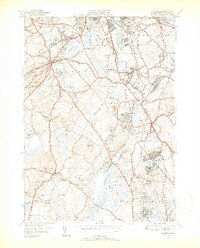
1950 Map of Billerica
USGS Topo · Published 1952About this map
The Concord River carves a central path through this mid-century landscape, acting as a historical artery for the industrial and social development of eastern Middlesex County. Large institutional footprints define several sections of the map, notably the US Veterans Hospital in the south and the Marist College and Convent near South Billerica. These complexes, alongside the House of Correction and Lowell General Hospital, suggest an era when large-scale public and religious infrastructure anchored the suburban fringe of Lowell.
Find a feature on this map
60 named features on this map. Tap any name to fly to it.
Don’t see what you’re looking for? This feature index may not catch every label — zoom into the map to look around manually.
Map Details
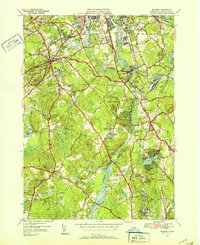
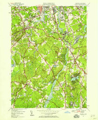
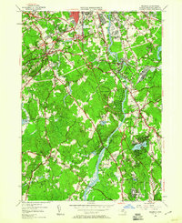
Editions of this 1950 Billerica Map
4 editions found
Other maps of this area

1886 · Lawrence
USGS Topo · 1:62,500

1886 · Lowell
USGS Topo · 1:62,500

1886 · Framingham
USGS Topo · 1:62,500

1888 · Lawrence
USGS Topo · 1:62,500

1889 · Framingham
USGS Topo · 1:62,500

1893 · Lowell
USGS Topo · 1:62,500

1893 · Boston
USGS Topo · 1:62,500

1893 · Lawrence
USGS Topo · 1:62,500

1894 · Framingham
USGS Topo · 1:62,500

1903 · Boston
USGS Topo · 1:62,500