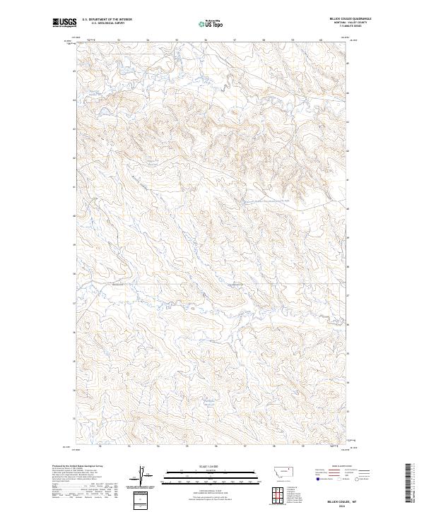
2024 Map of Billick Coulee
USGS Topo · Published 2024About this map
Billick Coulee cuts a distinct path through this section of Valley County, defining a landscape shaped by intermittent watercourses and ranching infrastructure. The terrain is marked by a network of water management features, including the notably named Wagon Top Reservoir and the substantial Two Butte Reservoir to the south. These catchments, along with Reservoir Number 14 and Reservoir Number One Hundred Forty-eight, underscore the importance of water storage in this arid northern Montana environment.
Find a feature on this map
13 named features on this map. Tap any name to fly to it.
Don’t see what you’re looking for? This feature index may not catch every label — zoom into the map to look around manually.
Map Details
Editions of this 2024 Billick Coulee Map
This is the sole edition of this map. No revisions or reprints were ever made.
Other maps of this area

1943 · Glasgow
USGS Topo · 1:125,000

1954 · Glasgow
USGS Topo · 1:250,000

1957 · Glasgow
USGS Topo · 1:250,000

1958 · Glasgow
USGS Topo · 1:250,000

1958 · Engstrom Ranch
USGS Topo · 1:24,000

1958 · Miller Coulee
USGS Topo · 1:62,500
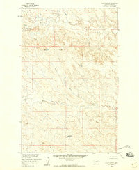
1958 · Billick Coulee
USGS Topo · 1:24,000
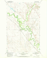
1969 · Tampico
USGS Topo · 1:24,000

1969 · Vandalia
USGS Topo · 1:24,000
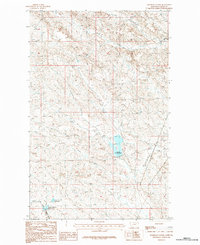
1984 · Hardpan Coulee
USGS Topo · 1:24,000