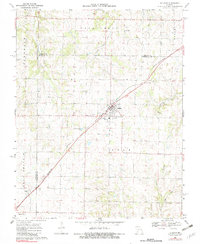
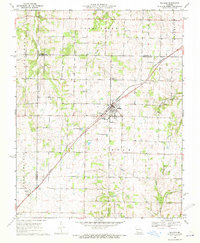
1969 Map of Billings
USGS Topo · Published 1982About this map
Billings stands as the central hub of this Missouri landscape, situated where the ST Louis - San Francisco line cuts diagonally across the terrain. The settlement pattern reveals a cluster of local history markers, including St Peters Cem, St Joseph Cem, and Rose Hill Cem surrounding the town center. To the west, the open expanse of Buck Prairie defines the land near the small community of Logan.
Find a feature on this map
29 named features on this map. Tap any name to fly to it.
Don’t see what you’re looking for? This feature index may not catch every label — zoom into the map to look around manually.
Map Details
Editions of this 1969 Billings Map
2 editions found
Other maps of this area

1884 · Springfield
USGS Topo · 1:125,000

1886 · Greenfield
USGS Topo · 1:125,000

1886 · Springfield
USGS Topo · 1:125,000

1888 · Greenfield
USGS Topo · 1:125,000

1907 · Forsyth
USGS Topo · 1:125,000

1919 · Halltown
USGS Topo · 1:62,500

1936 · Brookline
USGS Topo · 1:24,000

1942 · Aurora
USGS Topo · 1:62,500

1945 · Harrison
USGS Topo · 1:250,000

1945 · Aurora
USGS Topo · 1:62,500