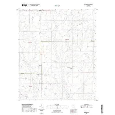
2018 Map of Billingsley
USGS Topo · Published 2018About this map
Billingsley and the surrounding central Alabama countryside are documented here as they appeared in 2018, straddling the border between Chilton and Autauga counties. This landscape is part of the Fall Line Hills physiographic region, characterized by a complex network of tributaries such as Swift Creek, Little Mulberry Creek, and Hurricane Branch. The settlement pattern remains largely rural, concentrated along a network of county roads like County Road 37 and County Road 24.
Find a feature on this map
67 named features on this map. Tap any name to fly to it.
Don’t see what you’re looking for? This feature index may not catch every label — zoom into the map to look around manually.
Map Details
Editions of this 2018 Billingsley Map
This is the sole edition of this map. No revisions or reprints were ever made.
Other maps of this area

1891 · Clanton
USGS Topo · 1:125,000

1953 · Montgomery
USGS Topo · 1:250,000

1956 · Montgomery
USGS Topo · 1:250,000

1957 · Montgomery
USGS Topo · 1:250,000

1959 · Plantersville
USGS Topo · 1:62,500

1959 · Billingsley
USGS Topo · 1:62,500
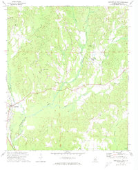
1971 · Maplesville East
USGS Topo · 1:24,000
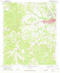
1972 · Clanton West
USGS Topo · 1:24,000
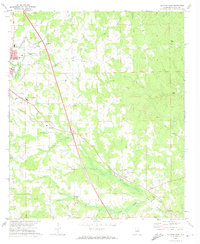
1972 · Clanton East
USGS Topo · 1:24,000

1975 · Plantersville SE
USGS Topo · 1:24,000