
1975 Map of Plantersville SE
USGS Topo · Published 1977About this map
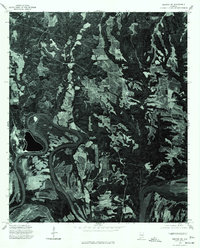
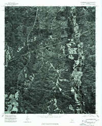
Walkers Lake stands as the primary named landmark on this orthophotoquad covering the rural landscape of Autauga County. Produced from aerial photography taken in the mid-1970s, the imagery reveals a complex arrangement of timber tracts, cleared agricultural fields, and a dense network of country roads. The varying textures of the forest canopy and the stark geometric lines of cleared land indicate an active timber and farming economy during this era. Unlike traditional topographic maps, this orthophoto provides a direct visual record of the land surface, showing the exact footprint of small farmsteads and the meandering paths of unnamed tributaries. It is a precise documentation of Alabama's central woodland and farm country before more modern development patterns or large-scale changes in land use altered the local geography.
Find a feature on this map
1 named feature on this map. Tap any name to fly to it.
Don’t see what you’re looking for? This feature index may not catch every label — zoom into the map to look around manually.
Map Details
Editions of this 1975 Plantersville SE Map
This is the sole edition of this map. No revisions or reprints were ever made.
Other maps of this area

1891 · Clanton
USGS Topo · 1:125,000

1953 · Montgomery
USGS Topo · 1:250,000

1956 · Montgomery
USGS Topo · 1:250,000

1957 · Montgomery
USGS Topo · 1:250,000

1957 · Autaugaville
USGS Topo · 1:62,500

1957 · Benton
USGS Topo · 1:62,500

1959 · Plantersville
USGS Topo · 1:62,500

1959 · Billingsley
USGS Topo · 1:62,500
1975 · Benton NE
USGS Topo · 1:24,000
1975 · Plantersville SW
USGS Topo · 1:24,000