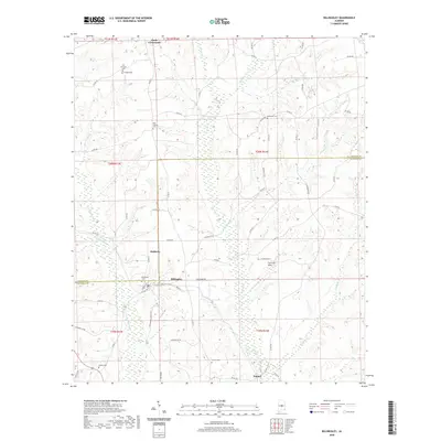
2020 Map of Billingsley
USGS Topo · Published 2020About this map
Billingsley serves as the central hub of this Central Alabama landscape, situated where the Fall Line Hills transition toward the coastal plain. This 2020 survey reveals a rural pattern of development defined by family-named cemeteries and small crossroads such as Pools Crossroads and Mulberry. The terrain is deeply etched by a network of drainage systems, including Swift Cr, Kincheon Cr, and the winding Little Mulberry Cr, which dictate the placement of county roads and historic farmsteads.
Find a feature on this map
66 named features on this map. Tap any name to fly to it.
Don’t see what you’re looking for? This feature index may not catch every label — zoom into the map to look around manually.
Map Details
Editions of this 2020 Billingsley Map
This is the sole edition of this map. No revisions or reprints were ever made.
Other maps of this area

1891 · Clanton
USGS Topo · 1:125,000

1953 · Montgomery
USGS Topo · 1:250,000

1956 · Montgomery
USGS Topo · 1:250,000

1957 · Montgomery
USGS Topo · 1:250,000

1959 · Plantersville
USGS Topo · 1:62,500

1959 · Billingsley
USGS Topo · 1:62,500
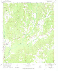
1971 · Maplesville East
USGS Topo · 1:24,000
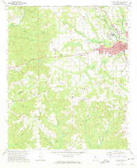
1972 · Clanton West
USGS Topo · 1:24,000
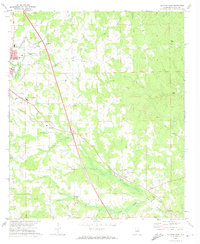
1972 · Clanton East
USGS Topo · 1:24,000

1975 · Plantersville SE
USGS Topo · 1:24,000