Loading...
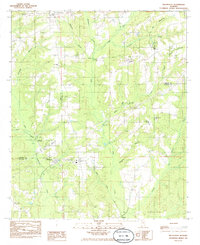
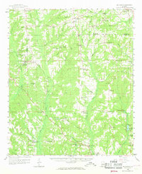
Loading map...1984 Map of Billingsley
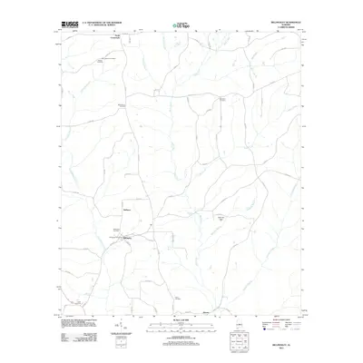
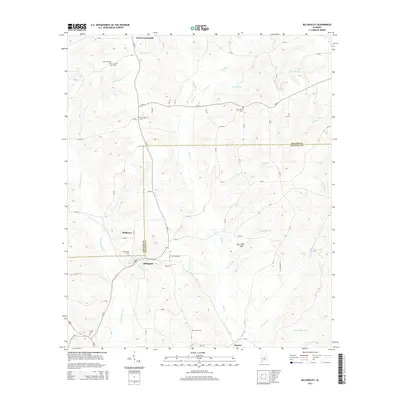
USGS Topo · Published 1985About this map
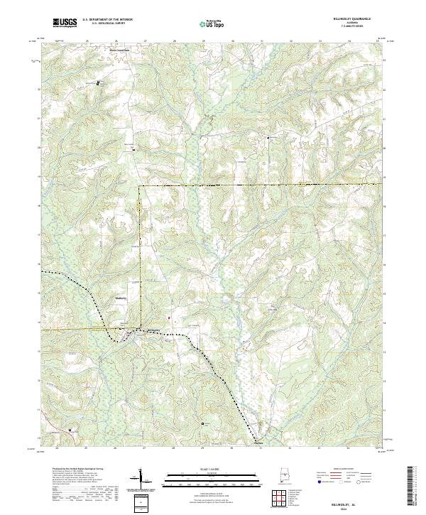
Billingsley serves as the focal point of this rural Alabama landscape, situated where the Illinois Central Gulf railroad corridor cuts through the timber and farmland of the central state. The community structure of the mid-1980s is clearly defined by its network of country churches and cemeteries, such as Bethsalem Ch and Indian Grave Cem, which anchor the surrounding homesteads.
Find a feature on this map
32 named features on this map. Tap any name to fly to it.
Don’t see what you’re looking for? This feature index may not catch every label — zoom into the map to look around manually.
Map Details
Date Portrayed1984
Date Published1985
PublisherU.S. Geological Survey
Map TypeTopographic
Scale1:24,000
Physical Dimensions21.9 x 26.9 inches
Editions of this 1984 Billingsley Map
This is the sole edition of this map. No revisions or reprints were ever made.
Historical Maps of Billingsley Through Time
7 maps found

Featured Locations
Source Details
SourceU.S. Geological Survey
CopyrightPublic Domain