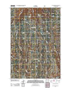
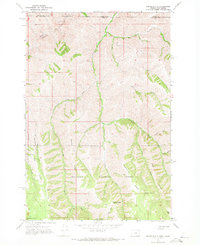
2011 Map of Billy Meadows
USGS Topo · Published 2011About this map
Billy Meadows and the surrounding Wallowa County highlands are defined by a complex network of seasonal camps and water sources critical to the region's ranching and backcountry heritage. Names like Hay Pen Camp and Hollow Log Cow Camp reflect the area's history of high-country grazing, while the landscape is carved by deep drainages such as Telephone Gulch, French Gulch, and Ellis Canyon. Numerous springs, including Baldwin Spring and Sumac Spring, are noted alongside man-made water features like Volstead Reservoir and McCarty Reservoir, illustrating the vital management of water in this high-elevation terrain.
Find a feature on this map
40 named features on this map. Tap any name to fly to it.
Don’t see what you’re looking for? This feature index may not catch every label — zoom into the map to look around manually.
Map Details
Editions of this 2011 Billy Meadows Map
This is the sole edition of this map. No revisions or reprints were ever made.
Other maps of this area
1954 · Imnaha
USGS Topo · 1:62,500

1955 · Grangeville
USGS Topo · 1:250,000
1957 · Elk Mountain
USGS Topo · 1:62,500

1959 · Grangeville
USGS Topo · 1:250,000
1963 · Jim Creek Butte
USGS Topo · 1:24,000
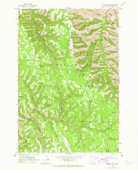
1963 · Poison Point
USGS Topo · 1:24,000
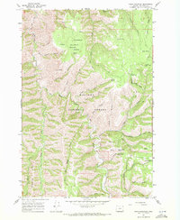
1967 · Table Mountain
USGS Topo · 1:24,000
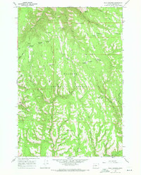
1967 · Billy Meadows
USGS Topo · 1:24,000
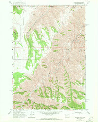
1967 · Paradise
USGS Topo · 1:24,000
1967 · Teepee Butte
USGS Topo · 1:24,000