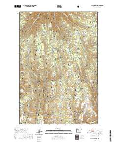
2020 Map of Billy Meadows
USGS Topo · Published 2020About this map
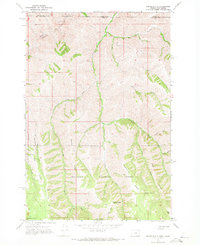
The Wallowa National Forest dominates this section of the Oregon high country, where the landscape is defined by a complex network of canyons and high ridges. The eastern reaches of the W Fork Peavine Cr and E Fork Peavine Cr carve through the terrain, meeting at Two Bit Fork. High-altitude grazing and water management are evident through the presence of several clearings and water catchments, including Getchel Meadows and the nearby Billy Meadows.
Find a feature on this map
55 named features on this map. Tap any name to fly to it.
Don’t see what you’re looking for? This feature index may not catch every label — zoom into the map to look around manually.
Map Details
Editions of this 2020 Billy Meadows Map
This is the sole edition of this map. No revisions or reprints were ever made.
Other maps of this area
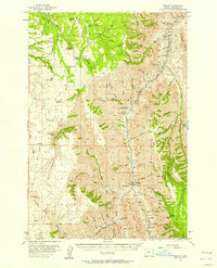
1954 · Imnaha
USGS Topo · 1:62,500

1955 · Grangeville
USGS Topo · 1:250,000
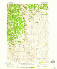
1957 · Elk Mountain
USGS Topo · 1:62,500

1959 · Grangeville
USGS Topo · 1:250,000
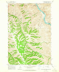
1963 · Jim Creek Butte
USGS Topo · 1:24,000
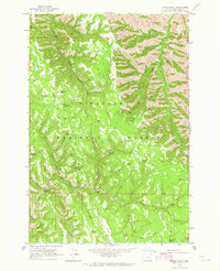
1963 · Poison Point
USGS Topo · 1:24,000
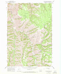
1967 · Table Mountain
USGS Topo · 1:24,000
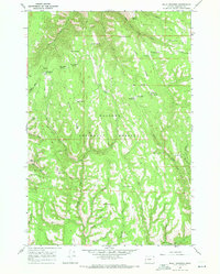
1967 · Billy Meadows
USGS Topo · 1:24,000
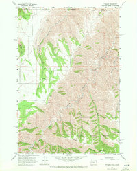
1967 · Paradise
USGS Topo · 1:24,000
1967 · Teepee Butte
USGS Topo · 1:24,000