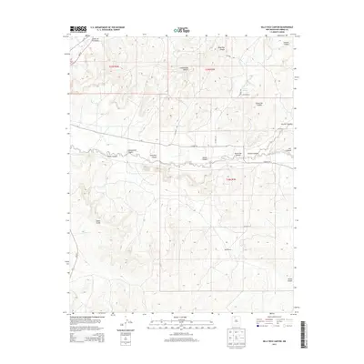
2013 Map of Billy Rice Canyon
USGS Topo · Published 2013About this map
Billy Rice Canyon and the surrounding drainage network of Rio Arriba County define this landscape of high-elevation plateaus and deep-cut arroyos. The map reveals a land established around ranching interests, notably the Leeson Ranch, White Ranch, and Post Ranch, which are linked by a network of county roads such as CO Road 370 and CO Road 529. The terrain is characterized by intricate geological formations, from the prominent Adobe Knobs in the southwest to the winding path of Cañada Largo. This 2013 survey illustrates how water remains the primary driver of naming and settlement in this arid region, as evidenced by features like Leeson Spring and the numerous named canyons including Cottonwood Canyon and Starve Out Canyon that drain into the larger basin.
Find a feature on this map
22 named features on this map. Tap any name to fly to it.
Don’t see what you’re looking for? This feature index may not catch every label — zoom into the map to look around manually.
Map Details
Editions of this 2013 Billy Rice Canyon Map
This is the sole edition of this map. No revisions or reprints were ever made.
Other maps of this area
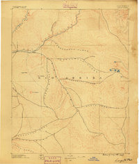
1889 · Largo
USGS Topo · 1:250,000
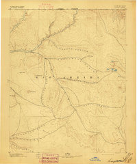
1895 · Largo
USGS Topo · 1:250,000
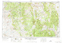
1954 · Aztec
USGS Topo · 1:250,000
1958 · Aztec
USGS Topo · 1:250,000
1962 · Aztec
USGS Topo · 1:250,000
1963 · Lapis Point
USGS Topo · 1:24,000
1963 · Schmitz Ranch
USGS Topo · 1:24,000
1963 · Otero Store
USGS Topo · 1:24,000
1963 · Lindrith
USGS Topo · 1:24,000
1963 · Ojito
USGS Topo · 1:24,000