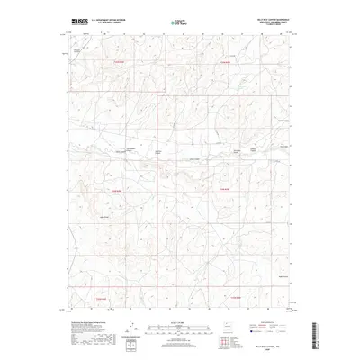
2020 Map of Billy Rice Canyon
USGS Topo · Published 2020About this map
Billy Rice Canyon and the surrounding high country of Rio Arriba County define this landscape, where deep drainages and volcanic remnants form a complex system of water and relief. The terrain is marked by the Adobe Knobs and several winding canyons, including Leeson Canyon and the curiously named Starve Out Canyon. Water sources are critical but scarce in this region, noted by the presence of GW Leeson Spring and the drainage of Canada Larga. The mapping reveals a sparse network of county roads like Co RD 370 and Co RD 529 that follow the natural contours of the land, providing access through Cottonwood Canyon and toward Oso Canyon in an area primarily shaped by its geological formations and high-altitude climate.
Find a feature on this map
23 named features on this map. Tap any name to fly to it.
Don’t see what you’re looking for? This feature index may not catch every label — zoom into the map to look around manually.
Map Details
Editions of this 2020 Billy Rice Canyon Map
This is the sole edition of this map. No revisions or reprints were ever made.
Other maps of this area
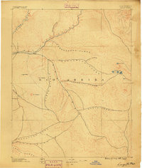
1889 · Largo
USGS Topo · 1:250,000
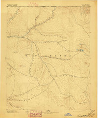
1895 · Largo
USGS Topo · 1:250,000
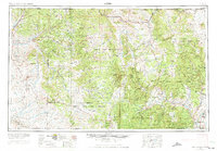
1954 · Aztec
USGS Topo · 1:250,000
1958 · Aztec
USGS Topo · 1:250,000
1962 · Aztec
USGS Topo · 1:250,000
1963 · Lapis Point
USGS Topo · 1:24,000
1963 · Schmitz Ranch
USGS Topo · 1:24,000
1963 · Otero Store
USGS Topo · 1:24,000
1963 · Lindrith
USGS Topo · 1:24,000
1963 · Ojito
USGS Topo · 1:24,000