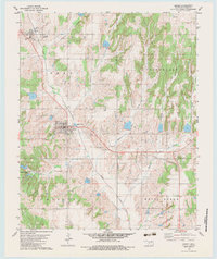
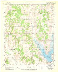
1979 Map of Binger
USGS Topo · Published 1983About this map
Binger and Lookeba anchor this Caddo County landscape during a period of established energy production and agriculture. The terrain is defined by a series of named ridges and canyons, including Devils Canyon and Horseshoe Canyon, which drain into a network of waterways like Sugar Creek and Kickapoo Creek. A notable Gas and Oil Field spans a large portion of the central survey area, indicating the region's industrial focus in the late 1970s. Local landmarks such as the Community Hall and the Binger Cem provide specific points of interest for those researching local genealogy or community development. The map also captures infrastructure like the Sewage Disposal Ponds and a Substa, reflecting the municipal growth of the era.
Find a feature on this map
22 named features on this map. Tap any name to fly to it.
Don’t see what you’re looking for? This feature index may not catch every label — zoom into the map to look around manually.
Map Details
Editions of this 1979 Binger Map
2 editions found
Other maps of this area

1893 · Buggy Creek
USGS Topo · 1:62,500

1945 · Anadarko
USGS Topo · 1:62,500

1951 · Binger
USGS Topo · 1:62,500

1951 · Fort Cobb
USGS Topo · 1:62,500

1955 · Clinton
USGS Topo · 1:250,000

1957 · Clinton
USGS Topo · 1:250,000
1967 · Cogar
USGS Topo · 1:24,000
1967 · Cogar NW
USGS Topo · 1:24,000
1968 · Anadarko NW
USGS Topo · 1:24,000

1979 · Hinton
USGS Topo · 1:24,000