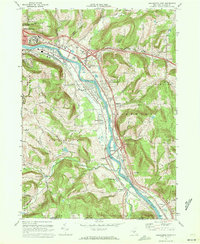
1968 Map of Binghamton East
USGS Topo · Published 1972About this map
The Susquehanna River anchors this 1968 landscape, winding past the sprawling State Hospital and through a series of river-valley settlements on the cusp of suburban expansion. The valley floor is dominated by the Erie Lackawanna railroad and the emerging infrastructure of Interchanges 1, 2, and 3, which signal the region's mid-century transportation shifts. To the south, the map captures the transition from the industrial and institutional core of Binghamton to the rural townships of Conklin and Kirkwood.
Find a feature on this map
79 named features on this map. Tap any name to fly to it.
Don’t see what you’re looking for? This feature index may not catch every label — zoom into the map to look around manually.
Map Details
Editions of this 1968 Binghamton East Map
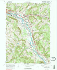
2 editions found
Other maps of this area

1904 · Binghamton
USGS Topo · 1:62,500

1905 · Nineveh
USGS Topo · 1:62,500

1932 · Susquehanna
USGS Topo · 1:62,500

1934 · Castle Creek
USGS Topo · 1:24,000

1935 · Binghamton West
USGS Topo · 1:24,000

1935 · Chenango Forks
USGS Topo · 1:24,000

1935 · Susquehanna
USGS Topo · 1:62,500

1937 · Binghamton East
USGS Topo · 1:24,000

1942 · Binghamton West
USGS Topo · 1:31,680

1942 · Castle Creek
USGS Topo · 1:31,680