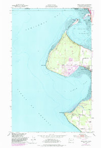
1952 Map of Birch Point
USGS Topo · Published 1982About this map
Canada United States international border markings define the northern edge of this coastal survey, where the town of Blaine meets the Peace Arch State Park. The maritime geography is characterized by protective landforms like the Semiahmoo Spit and Tongue Pt, which shelter Drayton Harbor from the open waters of Semiahmoo Bay. This configuration supported the early fishing and canning center of Semiahmoo, positioned directly across the water from the mainland rail lines.
Find a feature on this map
26 named features on this map. Tap any name to fly to it.
Don’t see what you’re looking for? This feature index may not catch every label — zoom into the map to look around manually.
Map Details
Editions of this 1952 Birch Point Map
5 editions found
Other maps of this area

1907 · Blaine
USGS Topo · 1:62,500

1952 · Birch Point
USGS Topo · 1:24,000

1952 · Lummi Bay
USGS Topo · 1:24,000

1952 · Blaine
USGS Topo · 1:24,000

1952 · Blaine
USGS Topo · 1:62,500

1957 · Victoria
USGS Topo · 1:250,000

1973 · Sucia Island
USGS Topo · 1:24,000

1975 · Bellingham
USGS Topo · 1:100,000
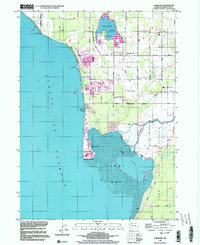
1997 · Lummi Bay
USGS Topo · 1:24,000
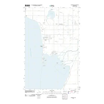
2011 · Lummi Bay
USGS Topo · 1:24,000