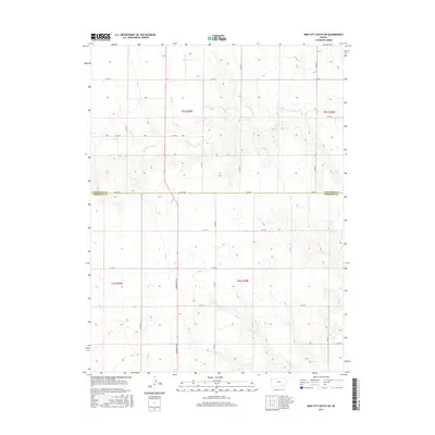
2015 Map of Bird City South SW
USGS Topo · Published 2015About this map
Little Beaver Cr meanders through the high plains of northwest Kansas, cutting a distinct path across a landscape defined by the rigid geometry of the Public Land Survey System. This area, straddling the Cheyenne Co Sherman Co line, reflects the orderly expansion of agricultural territory in the early twenty-first century. The map reveals a dense network of sectional roads, such as Commerce Rd and Co Rd 80, which provide the primary framework for land access and transport in this rural stretch. The topography is characterized by subtle drainage patterns and township divisions like t5s r39w and t6s r39w, illustrating how the western Kansas prairie was partitioned for systematic development. This document preserves the exact footprint of county thoroughfares and natural waterways as they served the local farming communities during this era.
Find a feature on this map
21 named features on this map. Tap any name to fly to it.
Don’t see what you’re looking for? This feature index may not catch every label — zoom into the map to look around manually.
Map Details
Editions of this 2015 Bird City South SW Map
This is the sole edition of this map. No revisions or reprints were ever made.
Other maps of this area
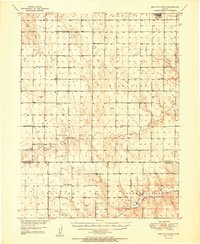
1951 · Bird City South
USGS Topo · 1:62,500
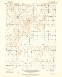
1952 · St Francis 3
USGS Topo · 1:62,500

1954 · Goodland
USGS Topo · 1:250,000

1956 · Goodland
USGS Topo · 1:250,000

1957 · Goodland
USGS Topo · 1:250,000
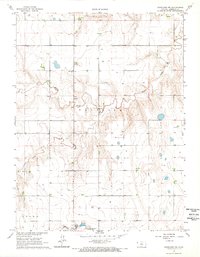
1966 · Goodland NW
USGS Topo · 1:24,000
1966 · Ruleton NE
USGS Topo · 1:24,000
1966 · Goodland NE
USGS Topo · 1:24,000
1978 · St. Francis 3 SE
USGS Topo · 1:24,000
1978 · Drury Creek
USGS Topo · 1:24,000