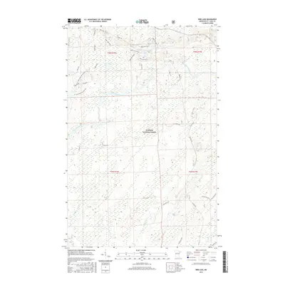
2016 Map of Bird Lake
USGS Topo · Published 2016About this map
Superior National Forest defines the character of this Minnesota landscape, where the Saint Louis River snakes through dense woodland and marshy lowlands. The water-rich terrain is punctuated by significant bodies of water including Bird Lake and Little Lillian Lake, along with the headwaters of numerous small streams such as Shiver Cr and Bum Cr. This 2016 survey illustrates a region largely managed for natural preservation, yet the influence of local industry and access is evident in the specialized naming of the road network. A complex series of service routes, notably those identified as the Moose Line Spur 791 and various sections of the St. Louis River-Hw Section A, suggest a history of resource management and timber extraction. The presence of routes like Pelto Road and Jenkins Hwy provides specific touchpoints for local historians interested in the infrastructure of the Mesabi Range periphery.
Find a feature on this map
36 named features on this map. Tap any name to fly to it.
Don’t see what you’re looking for? This feature index may not catch every label — zoom into the map to look around manually.
Map Details
Editions of this 2016 Bird Lake Map
This is the sole edition of this map. No revisions or reprints were ever made.
Other maps of this area

1949 · Aurora
USGS Topo · 1:24,000

1949 · Allen
USGS Topo · 1:24,000

1950 · Allen
USGS Topo · 1:24,000

1950 · Aurora
USGS Topo · 1:24,000

1951 · Babbitt SW
USGS Topo · 1:24,000

1954 · Two Harbors
USGS Topo · 1:250,000

1954 · Hibbing
USGS Topo · 1:250,000

1957 · Two Harbors
USGS Topo · 1:250,000

1957 · Hibbing
USGS Topo · 1:250,000

1957 · Brimson
USGS Topo · 1:62,500