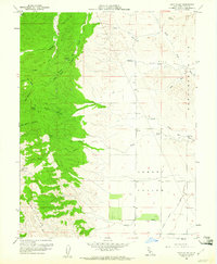
1959 Map of Bird Valley
USGS Topo · Published 1961About this map
The Capay Hills dominate the western portion of this 1959 landscape, rising sharply from the agricultural plains. Within these wooded heights, local history is marked by small settlements and camps such as Lawton and Buckhorn Camp, accessible by various canyons including South Fork Buckeye Creek and Bob Walker Canyon. The terrain transitions abruptly eastward into the wide floor of Hungry Hollow, where the drainage patterns shift from mountain creeks like Wildcat Creek to more managed water systems.
Find a feature on this map
34 named features on this map. Tap any name to fly to it.
Don’t see what you’re looking for? This feature index may not catch every label — zoom into the map to look around manually.
Map Details
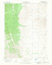
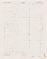
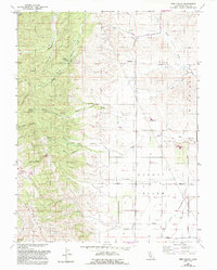
Editions of this 1959 Bird Valley Map
4 editions found
Other maps of this area

1905 · Harrington
USGS Topo · 1:24,000

1905 · Esparto
USGS Topo · 1:24,000

1907 · Dunnigan
USGS Topo · 1:62,500

1907 · Woodland
USGS Topo · 1:62,500

1916 · Jacobs Corner
USGS Topo · 1:31,680

1916 · Harrington
USGS Topo · 1:31,680

1916 · Hershey
USGS Topo · 1:31,680

1916 · Zamora
USGS Topo · 1:31,680

1916 · Esparto
USGS Topo · 1:31,680

1924 · Capay
USGS Topo · 1:62,500