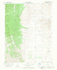
1959 Map of Bird Valley
USGS Topo · Published 1970About this map
The Capay Hills dominate the western half of this landscape, giving way to the agricultural transition zones of the Hungry Hollow basin. Surveyed in the late 1950s, the map reveals a remote section of Yolo County where livestock and seasonal water management defined the local economy. Small outposts and camps like Lawton and Buckhorn Camp are situated in the higher elevations, while the lower flats show the early engineering of the Hungry Hollow Canal. The terrain is deeply incised by numerous canyons such as Wood Bark Canyon, Burger Canyon, and Bob Walker Canyon, all draining eastward toward the Slough. These drainage patterns, including the North Fork and South Fork of Bird Cr, illustrate the complex watershed that feeds the valley below Bald Mtn.
Find a feature on this map
28 named features on this map. Tap any name to fly to it.
Don’t see what you’re looking for? This feature index may not catch every label — zoom into the map to look around manually.
Map Details
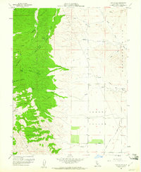
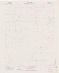
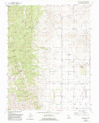
Editions of this 1959 Bird Valley Map
4 editions found
Other maps of this area

1905 · Harrington
USGS Topo · 1:24,000

1905 · Esparto
USGS Topo · 1:24,000

1907 · Dunnigan
USGS Topo · 1:62,500

1907 · Woodland
USGS Topo · 1:62,500

1916 · Jacobs Corner
USGS Topo · 1:31,680

1916 · Harrington
USGS Topo · 1:31,680

1916 · Hershey
USGS Topo · 1:31,680

1916 · Zamora
USGS Topo · 1:31,680

1916 · Esparto
USGS Topo · 1:31,680

1924 · Capay
USGS Topo · 1:62,500