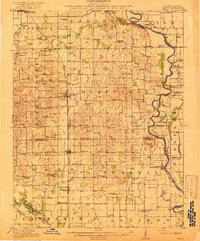
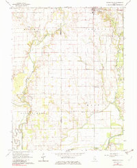
1917 Map of Birds
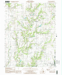
USGS Topo · Published 1917This historical map portrays the area of Birds in 1917, primarily covering Crawford County as well as portions of Crawford County and Indiana. Featuring a scale of 1:62500, this map provides a highly detailed snapshot of the terrain, roads, buildings, counties, and historical landmarks in the Birds region at the time. Published in 1917, it is one of 2 known editions of this map due to revisions or reprints.
Find a feature on this map
83 named features on this map. Tap any name to fly to it.
Don’t see what you’re looking for? This feature index may not catch every label — zoom into the map to look around manually.
Map Details
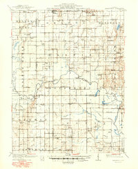
Editions of this 1917 Birds Map
2 editions found
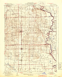
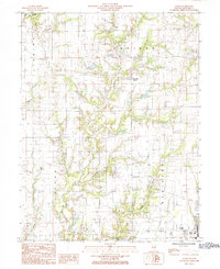
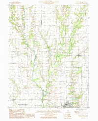
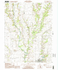
Historical Maps of Duncanville Through Time
9 maps found
1910 Hardinville
Crawford County, IL
1917 Birds
Crawford County, IL

1942 Birds
Crawford County, IL
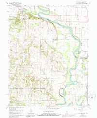
1964 Heathsville
Crawford County, IL
1968 Oblong South
Crawford County, IL
1985 Eaton
Crawford County, IL
1985 Oblong North
Crawford County, IL
1998 Oblong North
Crawford County, IL
1998 Porterville
Crawford County, IL