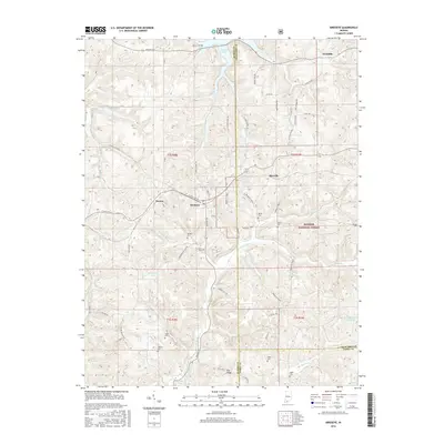
2016 Map of Birdseye
USGS Topo · Published 2016About this map
Hoosier National Forest land dominates the southeastern portion of this Dubois County landscape, where the Anderson River carves a winding path toward the south. The small town of Birdseye serves as a central hub for the surrounding rural communities of Mentor, Riceville, and Wickliffe. The terrain is characterized by a dense network of family-named cemeteries, including Waddle Cem, Garland Cem, and Adkins Cem, which provide significant points of interest for genealogists and local historians tracking early settlers.
Find a feature on this map
65 named features on this map. Tap any name to fly to it.
Don’t see what you’re looking for? This feature index may not catch every label — zoom into the map to look around manually.
Map Details
Editions of this 2016 Birdseye Map
This is the sole edition of this map. No revisions or reprints were ever made.
Other maps of this area

1900 · St Meinrad
USGS Topo · 1:62,500

1903 · St. Meinrad
USGS Topo · 1:62,500

1954 · Dubois
USGS Topo · 1:24,000

1955 · Saint Anthony
USGS Topo · 1:24,000

1956 · Greenbrier
USGS Topo · 1:24,000

1956 · Taswell
USGS Topo · 1:24,000

1956 · Vincennes
USGS Topo · 1:250,000

1957 · Vincennes
USGS Topo · 1:250,000

1957 · Cuzco
USGS Topo · 1:24,000

1957 · Birdseye
USGS Topo · 1:24,000