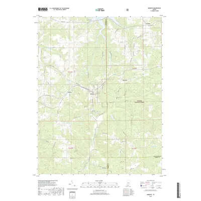
2019 Map of Birdseye
USGS Topo · Published 2019About this map
Birdseye serves as a central hub in this Southern Indiana landscape, where the town grid meets the rolling hills of the Hoosier National Forest. The map documents a territory defined by small rural settlements like Wickliffe and Riceville, connected by a network of local roads such as E State Rd 64 and Indiana 145. Water features are prominent throughout the quadrangle, including the southern reaches of Patoka Lake and several smaller bodies of water like Carmichael Lake and Idle Hour Lake.
Find a feature on this map
71 named features on this map. Tap any name to fly to it.
Don’t see what you’re looking for? This feature index may not catch every label — zoom into the map to look around manually.
Map Details
Editions of this 2019 Birdseye Map
This is the sole edition of this map. No revisions or reprints were ever made.
Other maps of this area

1900 · St Meinrad
USGS Topo · 1:62,500

1903 · St. Meinrad
USGS Topo · 1:62,500

1954 · Dubois
USGS Topo · 1:24,000

1955 · Saint Anthony
USGS Topo · 1:24,000

1956 · Greenbrier
USGS Topo · 1:24,000

1956 · Taswell
USGS Topo · 1:24,000

1956 · Vincennes
USGS Topo · 1:250,000

1957 · Vincennes
USGS Topo · 1:250,000

1957 · Cuzco
USGS Topo · 1:24,000

1957 · Birdseye
USGS Topo · 1:24,000