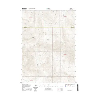
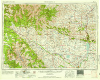
2015 Map of Birdseye Pass
USGS Topo · Published 2015About this map
Birdseye Pass and the surrounding high ground of Birdseye Mtn define this central Wyoming landscape where the borders of Fremont and Hot Springs counties meet. The area is characterized by high-elevation terrain including the prominent Copper Mtn and the depression of Woods Basin to the northwest. This 2015 survey reveals a specialized network of high-desert access, where historic routes like Birdseye Rd and Quien Sabe Rd wind through the drainages of Tough Cr and Birdseye Cr. The map's hydrological data shows a radiating pattern of seasonal watercourses such as Gold Cr and Cottonwood Cr, reflecting a landscape dictated by sharp elevation changes and the arid climate of the central basins. These named features represent long-standing landmarks for local ranching and exploration in this portion of the Owl Creek Mountains.
Find a feature on this map
21 named features on this map. Tap any name to fly to it.
Don’t see what you’re looking for? This feature index may not catch every label — zoom into the map to look around manually.
Map Details
Editions of this 2015 Birdseye Pass Map
This is the sole edition of this map. No revisions or reprints were ever made.
Other maps of this area
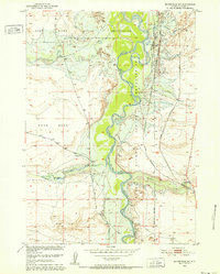
1950 · Bonneville SW
USGS Topo · 1:24,000
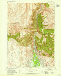
1951 · Boysen
USGS Topo · 1:24,000
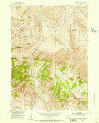
1951 · Birdseye Pass
USGS Topo · 1:24,000
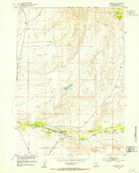
1951 · Bonneville
USGS Topo · 1:24,000
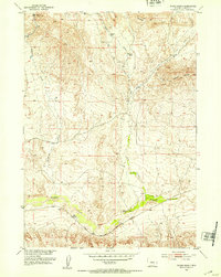
1952 · Picard Ranch
USGS Topo · 1:24,000
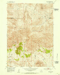
1952 · Guffy Peak
USGS Topo · 1:24,000

1955 · Thermopolis
USGS Topo · 1:250,000

1955 · Arminto
USGS Topo · 1:250,000
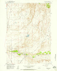
1957 · Bonneville
USGS Topo · 1:24,000
1958 · Thermopolis
USGS Topo · 1:250,000