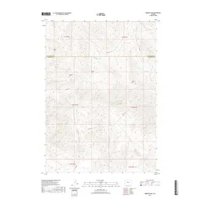
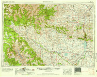
2017 Map of Birdseye Pass
USGS Topo · Published 2017About this map
Birdseye Pass serves as a critical geographic divide within the high-altitude terrain of the Owl Creek and Bridger Mountains transition. This 2017 survey documents a landscape defined by significant elevations like Copper Mtn and Birdseye Mtn, where the high-country drainage patterns feed into systems like Cottonwood Cr and Birdseye Cr. The boundary between Hot Springs and Fremont Counties cuts directly through these heights, highlighting the remote nature of the region.
Find a feature on this map
21 named features on this map. Tap any name to fly to it.
Don’t see what you’re looking for? This feature index may not catch every label — zoom into the map to look around manually.
Map Details
Editions of this 2017 Birdseye Pass Map
This is the sole edition of this map. No revisions or reprints were ever made.
Other maps of this area
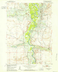
1950 · Bonneville SW
USGS Topo · 1:24,000
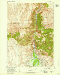
1951 · Boysen
USGS Topo · 1:24,000
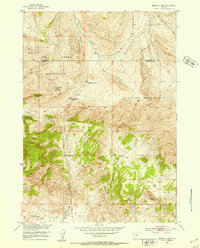
1951 · Birdseye Pass
USGS Topo · 1:24,000
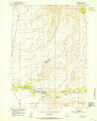
1951 · Bonneville
USGS Topo · 1:24,000
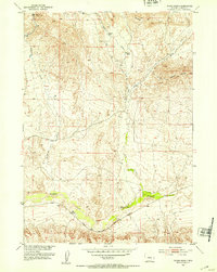
1952 · Picard Ranch
USGS Topo · 1:24,000
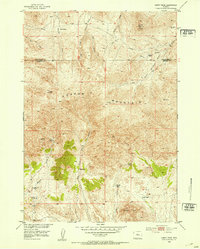
1952 · Guffy Peak
USGS Topo · 1:24,000

1955 · Thermopolis
USGS Topo · 1:250,000

1955 · Arminto
USGS Topo · 1:250,000
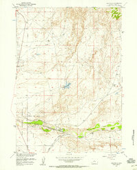
1957 · Bonneville
USGS Topo · 1:24,000
1958 · Thermopolis
USGS Topo · 1:250,000