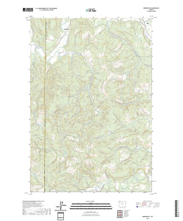
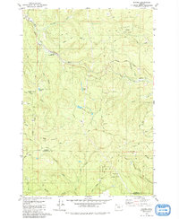
2023 Map of Birkenfeld
USGS Topo · Published 2023About this map
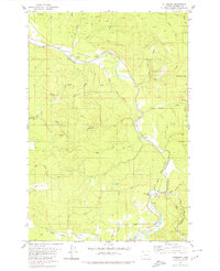
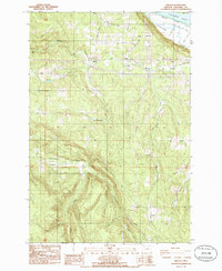
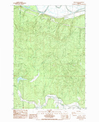
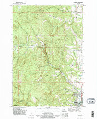
Birkenfeld and Mist sit at the northern edge of this terrain where the Nehalem River winds through the Nehalem Valley. The landscape is defined by an intricate network of industrial and timber access routes, notably the Columbia River Main Line and various logging arteries like the Kauppi Mainline, Barnhardt Mnln, and Crooked Creek Mnln. These roads trace the steep drainage basins of Calvin Creek, Cougar Creek, and Deep Creek, illustrating the modern management of these timberlands.
Find a feature on this map
47 named features on this map. Tap any name to fly to it.
Don’t see what you’re looking for? This feature index may not catch every label — zoom into the map to look around manually.
Map Details
Editions of this 2023 Birkenfeld Map
This is the sole edition of this map. No revisions or reprints were ever made.
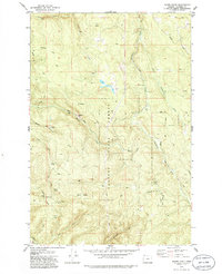
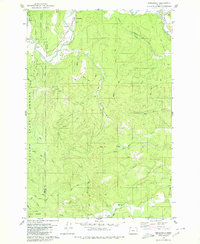
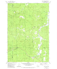
Historical Maps of Neverstill Through Time
26 maps found

1919 Mayger
Columbia County, OR

1941 St Helens
Columbia County, OR

1943 St Helens
Columbia County, OR
1954 St Helens
Columbia County, OR
1971 Chapman
Columbia County, OR
1971 Trenholm
Columbia County, OR
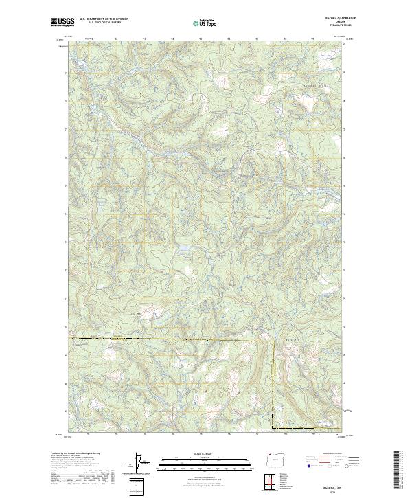
1979 Bacona
Columbia County, OR
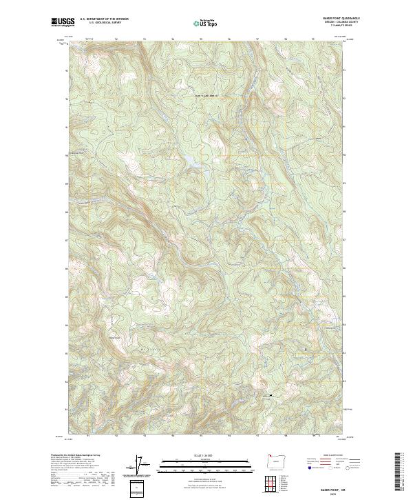
1979 Baker Point
Columbia County, OR
1979 Birkenfeld
Columbia County, OR
1979 Clear Creek
Columbia County, OR
1979 Pittsburg
Columbia County, OR
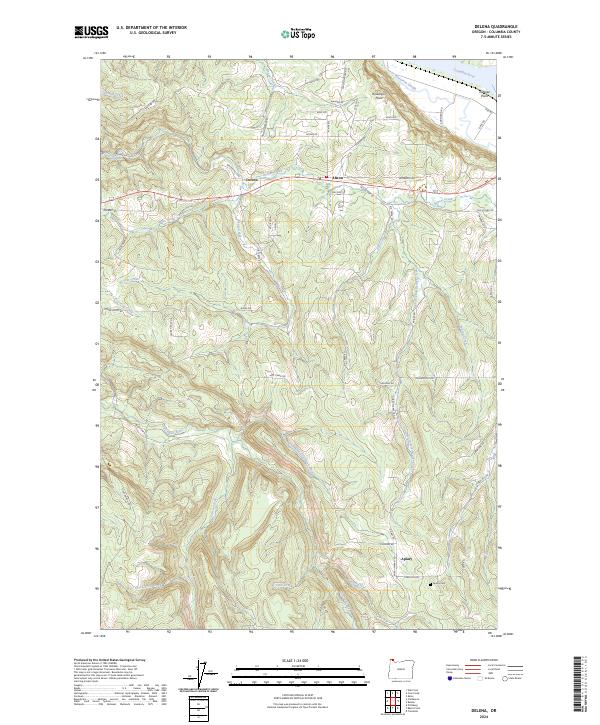
1985 Delena
Columbia County, OR
1985 Marshland
Columbia County, OR
1990 Chapman
Columbia County, OR
1990 Saint Helens
Columbia County, OR
1990 Trenholm
Columbia County, OR
2023 Bacona
Columbia County, OR
2023 Baker Point
Columbia County, OR
2023 Birkenfeld
Columbia County, OR
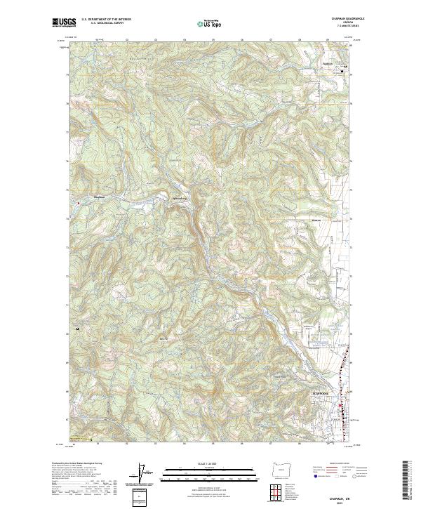
2023 Chapman
Columbia County, OR
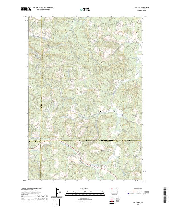
2023 Clear Creek
Columbia County, OR
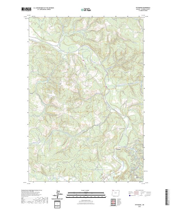
2023 Pittsburg
Columbia County, OR
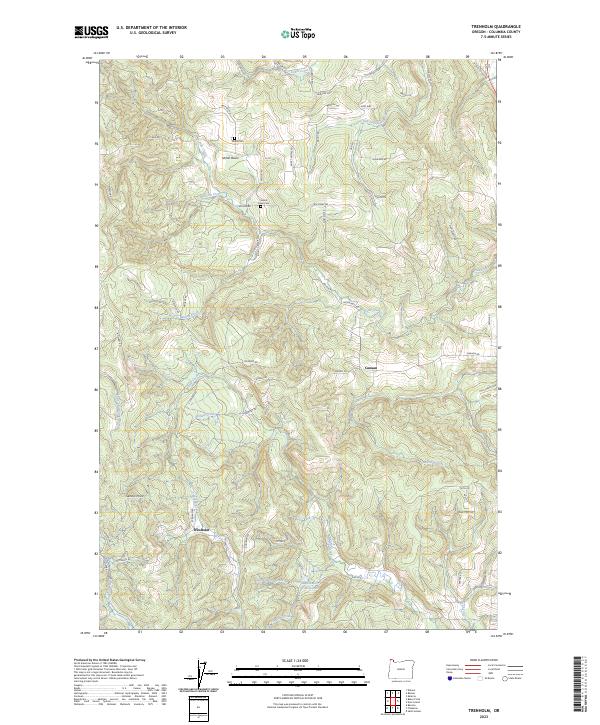
2023 Trenholm
Columbia County, OR
2024 Delena
Columbia County, OR
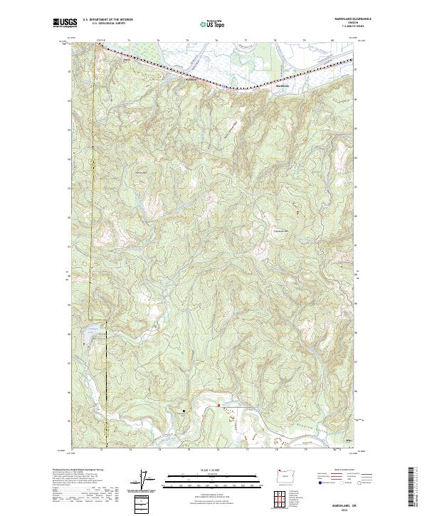
2024 Marshland
Columbia County, OR
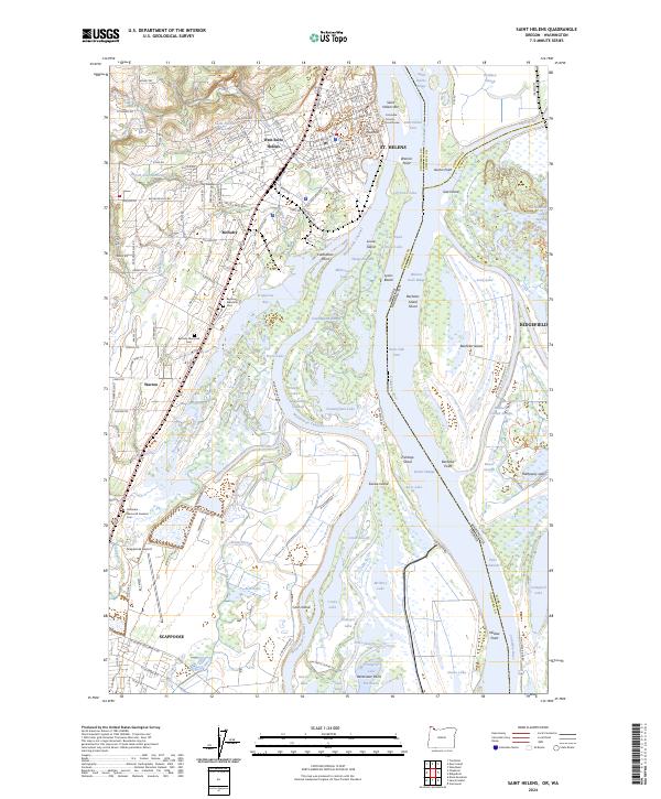
2024 Saint Helens
Columbia County, OR