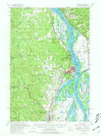
1954 Map of St Helens
USGS Topo · Published 1981About this map
St Helens sits at a strategic bend in the Columbia River, serving as a hub where industrial rail lines meet the complex waterways of the Pacific Northwest. This 1954 survey details the dense network of small communities and rural infrastructure defining mid-century Columbia County, from the riverfront activity at Columbia City to the inland settlements of Yankton and Scappoose. The landscape is etched with the paths of the Spokane Portland and Seattle Railway and the Northern Pacific Railway, which facilitated the movement of goods through the valley.
Find a feature on this map
132 named features on this map. Tap any name to fly to it.
Don’t see what you’re looking for? This feature index may not catch every label — zoom into the map to look around manually.
Map Details
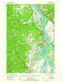
Editions of this 1954 St Helens Map
2 editions found
Other maps of this area

1897 · Portland
USGS Topo · 1:62,500

1905 · Portland
USGS Topo · 1:62,500

1915 · Hillsboro
USGS Topo · 1:62,500

1918 · Hillsboro
USGS Topo · 1:62,500

1919 · Mayger
USGS Topo · 1:62,500

1921 · Kalama
USGS Topo · 1:62,500

1922 · St. Helens
USGS Topo · 1:62,500

1940 · Hillsboro
USGS Topo · 1:62,500

1940 · Portland
USGS Topo · 1:62,500

1940 · La Center
USGS Topo · 1:62,500