
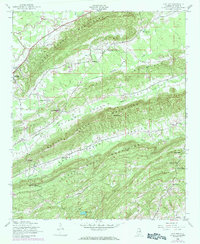
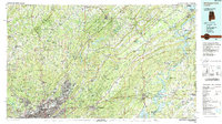
1984 Map of Birmingham North
USGS Topo · Published 1985About this map
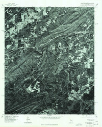
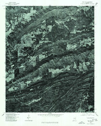
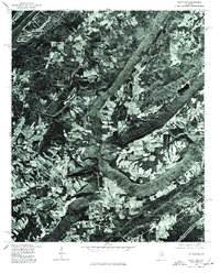
Red Mountain and the parallel ridges of Sand Mountain and Blount Mountain define the topography of this mid-1980s landscape, where the northern expansion of Birmingham meets the deep valleys of the Coosa River and Black Warrior River systems. The map illustrates a complex industrial and transport corridor during a transitional era, as the newly integrated Interstate Highway System—including I-65, I-59, and I-20—converges on the city.
Find a feature on this map
154 named features on this map. Tap any name to fly to it.
Don’t see what you’re looking for? This feature index may not catch every label — zoom into the map to look around manually.
Map Details
Editions of this 1984 Birmingham North Map
2 editions found
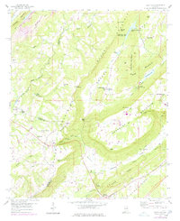
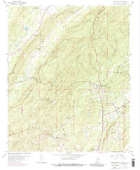
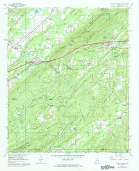
Historical Maps of Birmingham Through Time
30 maps found
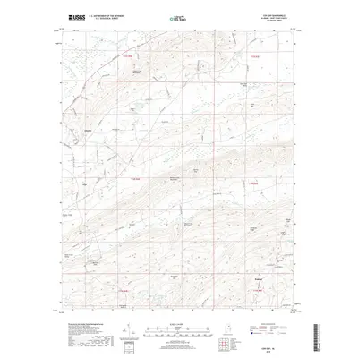
1947 Cox Gap
St. Clair County, AL
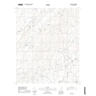
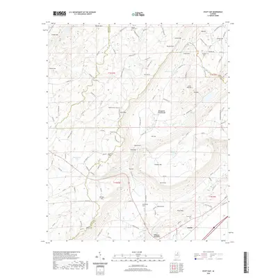
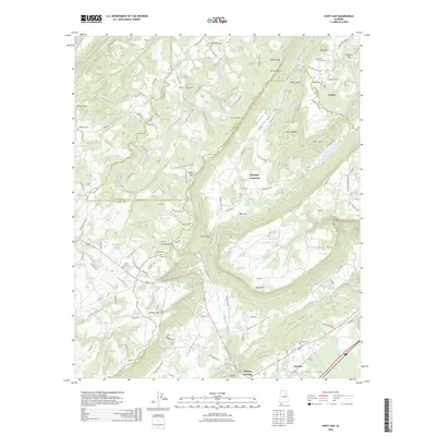
1958 Hyatt Gap
St. Clair County, AL
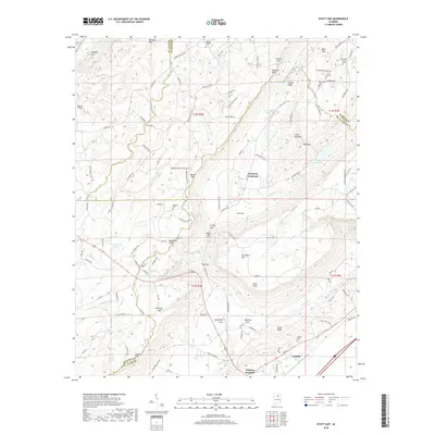
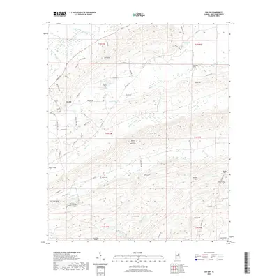
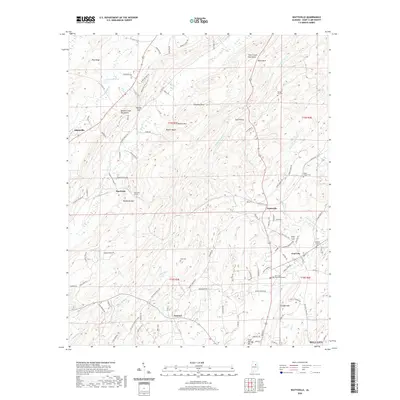
1958 Wattsville
St. Clair County, AL
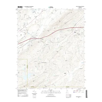
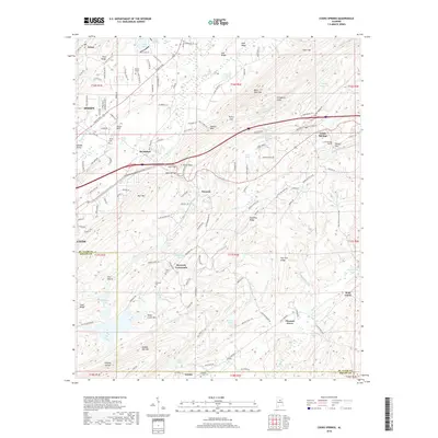
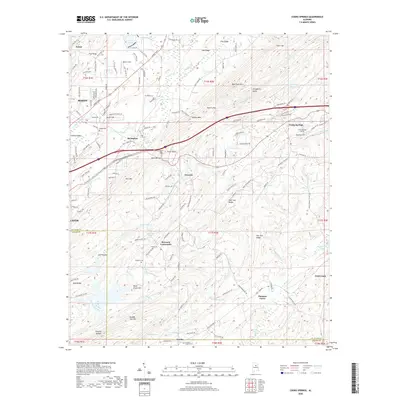
1962 Cooks Springs
St. Clair County, AL
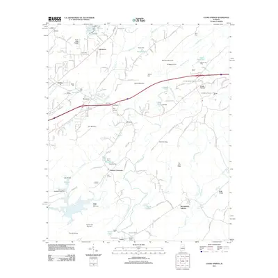
1975 Cooks Springs
St. Clair County, AL
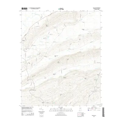
1975 Cox Gap
St. Clair County, AL
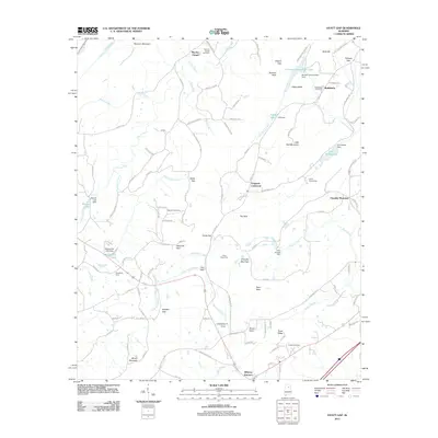
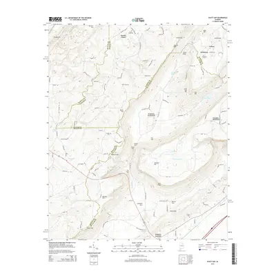
1975 Hyatt Gap
St. Clair County, AL

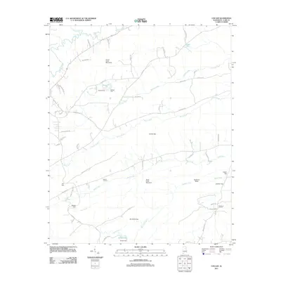
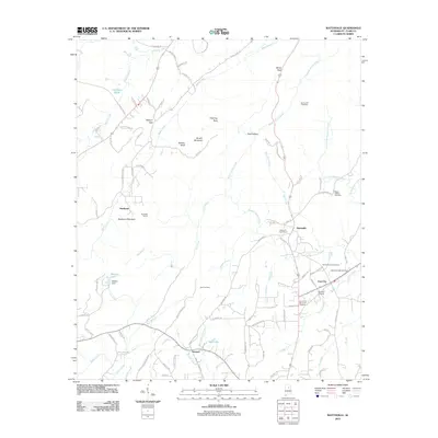
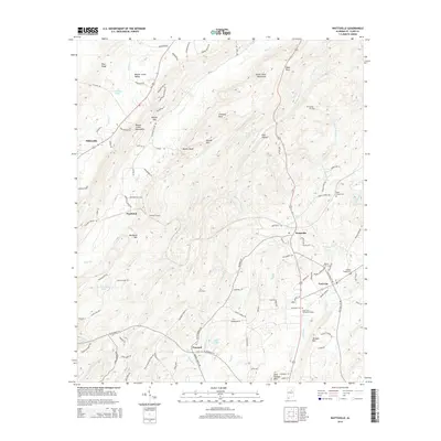
1975 Wattsville
St. Clair County, AL
1984 Birmingham North
St. Clair County, AL
2011 Cooks Springs
St. Clair County, AL
2011 Cox Gap
St. Clair County, AL
2011 Hyatt Gap
St. Clair County, AL
2011 Wattsville
St. Clair County, AL
2014 Cooks Springs
St. Clair County, AL
2014 Cox Gap
St. Clair County, AL
2014 Hyatt Gap
St. Clair County, AL
2014 Wattsville
St. Clair County, AL
2018 Cooks Springs
St. Clair County, AL
2018 Cox Gap
St. Clair County, AL
2018 Hyatt Gap
St. Clair County, AL
2018 Wattsville
St. Clair County, AL
2020 Cooks Springs
St. Clair County, AL
2020 Cox Gap
St. Clair County, AL
2020 Hyatt Gap
St. Clair County, AL
2020 Wattsville
St. Clair County, AL
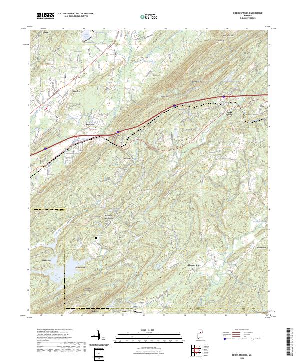
2024 Cooks Springs
St. Clair County, AL
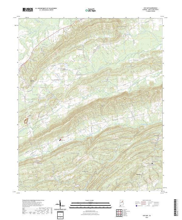
2024 Cox Gap
St. Clair County, AL
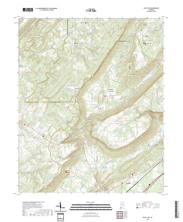
2024 Hyatt Gap
St. Clair County, AL
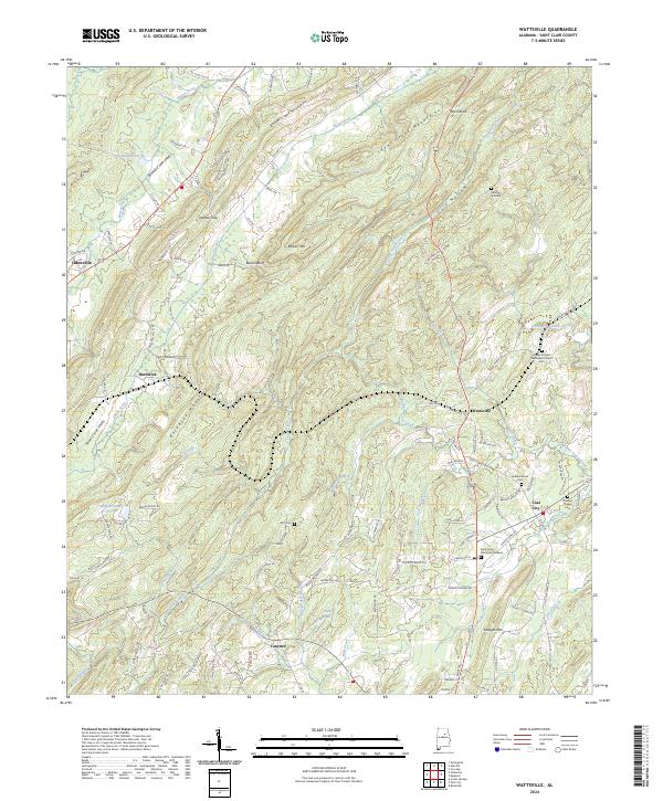
2024 Wattsville
St. Clair County, AL
2026 Hyatt Gap
St. Clair County, AL