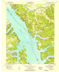
1955 Map of Birmingham Point
USGS Topo · Published 1956About this map
The Cumberland River and Tennessee River converge here in a landscape defined by the peninsula known as Between the Rivers. This 1955 revision documents the area shortly after the formation of Kentucky Lake, showing a hybrid landscape of submerged valleys and active river commerce. Evidence of industrial activity remains at the Badgett Coal Terminal and the Star Lime Works Ch, while the extensive Kentucky Woodlands Wildlife Refuge covers much of the eastern terrain.
Find a feature on this map
53 named features on this map. Tap any name to fly to it.
Don’t see what you’re looking for? This feature index may not catch every label — zoom into the map to look around manually.
Map Details
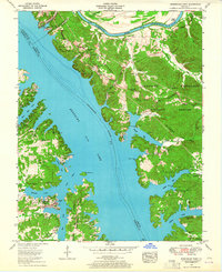
Editions of this 1955 Birmingham Point Map
2 editions found
Other maps of this area

1928 · Eddyville
USGS Topo · 1:48,000

1929 · Smithland
USGS Topo · 1:62,500

1931 · Eddyville
USGS Topo · 1:62,500

1936 · Eddyville
USGS Topo · 1:48,000

1936 · Mont
USGS Topo · 1:24,000

1936 · Fenton
USGS Topo · 1:24,000

1936 · Grand Rivers
USGS Topo · 1:24,000

1936 · Hardin
USGS Topo · 1:24,000

1936 · Smithland
USGS Topo · 1:48,000

1936 · Hiatt
USGS Topo · 1:24,000