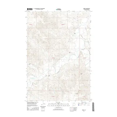
2017 Map of Birney
USGS Topo · Published 2017About this map
The Tongue River carves a central path through this Rosebud County landscape, anchoring the settlement of Birney and its surrounding agricultural infrastructure. In this 2017 study, the water management systems essential to the region are clearly defined, including the Brewster-West Side Ditch and Brewster-East Side Ditch that follow the river's contours. To the south, the topography rises toward Battle Butte, which is flanked by the various branches of Battle Butte Creek. For those researching local heritage, the Birney Cemetery sits west of the river near Bottle Butte, while the eastern side is defined by drainage networks like Hanging Woman Creek and landmarks such as Pyramid Butte. The map details a complex system of gulches and draws, from Browns Gulch in the north to McGhee Gulch in the south, illustrating the drainage patterns that feed into the main river valley.
Find a feature on this map
35 named features on this map. Tap any name to fly to it.
Don’t see what you’re looking for? This feature index may not catch every label — zoom into the map to look around manually.
Map Details
Editions of this 2017 Birney Map
This is the sole edition of this map. No revisions or reprints were ever made.
Other maps of this area
1954 · Hardin
USGS Topo · 1:250,000
1957 · Hardin
USGS Topo · 1:250,000
1958 · Hardin
USGS Topo · 1:250,000
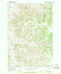
1966 · Browns Mountain
USGS Topo · 1:24,000
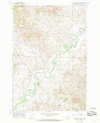
1966 · Birney Day School
USGS Topo · 1:24,000
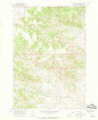
1967 · Clubfoot Creek
USGS Topo · 1:24,000
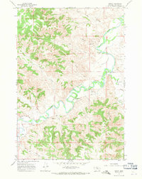
1967 · Birney
USGS Topo · 1:24,000
1967 · Cook Creek Butte
USGS Topo · 1:24,000
1967 · Lacey Gulch
USGS Topo · 1:24,000
1967 · Spring Gulch
USGS Topo · 1:24,000