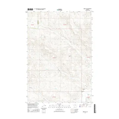
2017 Map of Birney SW
USGS Topo · Published 2017About this map
Tongue River Rd follows the winding course of the Tongue River through this section of the Muddy District, where the landscape is defined by a dense network of intermittent drainages and named coulees. The terrain features numerous evocative local names, including Bootlegger Draw and Salesbury Draw, reflecting the historical land use and early ranching geography of the region.
Find a feature on this map
18 named features on this map. Tap any name to fly to it.
Don’t see what you’re looking for? This feature index may not catch every label — zoom into the map to look around manually.
Map Details
Editions of this 2017 Birney SW Map
This is the sole edition of this map. No revisions or reprints were ever made.
Other maps of this area

1954 · Hardin
USGS Topo · 1:250,000

1957 · Hardin
USGS Topo · 1:250,000

1958 · Hardin
USGS Topo · 1:250,000
1958 · Bull Creek Lookout
USGS Topo · 1:24,000
1967 · Clubfoot Creek
USGS Topo · 1:24,000
1967 · Birney
USGS Topo · 1:24,000
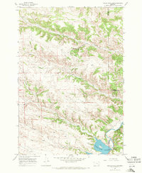
1967 · Tongue River Dam
USGS Topo · 1:24,000
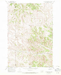
1967 · Cook Creek Butte
USGS Topo · 1:24,000
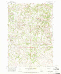
1967 · Lacey Gulch
USGS Topo · 1:24,000
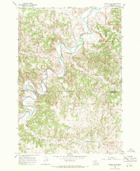
1967 · Spring Gulch
USGS Topo · 1:24,000