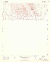
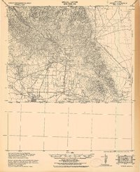
1958 Map of Bisbee SE
USGS Topo · Published 1968About this map
The high ridges of the Mule Mountains dominate this borderland landscape, where the southern reaches of the range meet the high desert of the Sulphur Springs Valley. In the mid-20th century, this area remained a rugged corridor of mining and transit, marked by the presence of the Glance Mine and Marquette Mine. Industrial activity is evident in the numerous Prospect and Shaft notations, as well as the Crook Tunnel burrowed beneath the peaks.
Find a feature on this map
16 named features on this map. Tap any name to fly to it.
Don’t see what you’re looking for? This feature index may not catch every label — zoom into the map to look around manually.
Map Details
Editions of this 1958 Bisbee SE Map
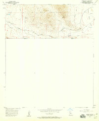
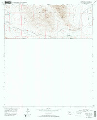
3 editions found
Other maps of this area

1902 · Bisbee
USGS Topo · 1:62,500

1910 · Bisbee
USGS Topo · 1:62,500

1914 · Douglas
USGS Topo · 1:62,500

1916 · Douglas
USGS Topo · 1:125,000

1919 · Douglas
USGS Topo · 1:125,000

1925 · Douglas
USGS Topo · 1:62,500

1927 · Bisbee
USGS Topo · 1:62,500
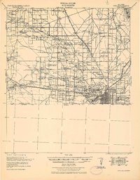
1933 · Douglas
USGS Topo · 1:62,500
1933 · Bisbee
USGS Topo · 1:62,500

1955 · Douglas
USGS Topo · 1:250,000