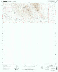
1958 Map of Bisbee SE
USGS Topo · Published 1968About this map
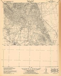
The Mule Mountains dominate the northern landscape of this borderlands survey, where the rugged southern Arizona terrain meets the international boundary between the United States and Mexico. This era of mineral extraction is well-documented through a network of active and former workings, including the Glance Mine, Marquette Mine, and the Crook Tunnel. The industrial footprint extends to the transportation infrastructure, featuring the active Southern Pacific line alongside an Old Grade Railroad, tracing the evolution of ore transport toward the Sulphur Springs Valley. While much of the land remains undeveloped mining territory, the presence of the Christiansen Ranch and several scattered water reservoirs highlights the localized ranching and water management essential for survival in the high desert of Cochise County.
Find a feature on this map
16 named features on this map. Tap any name to fly to it.
Don’t see what you’re looking for? This feature index may not catch every label — zoom into the map to look around manually.
Map Details
Editions of this 1958 Bisbee SE Map
3 editions found
Other maps of this area

1902 · Bisbee
USGS Topo · 1:62,500

1910 · Bisbee
USGS Topo · 1:62,500

1914 · Douglas
USGS Topo · 1:62,500

1916 · Douglas
USGS Topo · 1:125,000

1919 · Douglas
USGS Topo · 1:125,000

1925 · Douglas
USGS Topo · 1:62,500

1927 · Bisbee
USGS Topo · 1:62,500
1933 · Douglas
USGS Topo · 1:62,500
1933 · Bisbee
USGS Topo · 1:62,500

1955 · Douglas
USGS Topo · 1:250,000