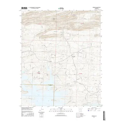
2017 Map of Bismarck
USGS Topo · Published 2017About this map
The settlement of Bismarck anchors this central Arkansas landscape, where the foothills meet the northern reaches of De Gray Lake. The terrain is defined by dramatic relief in the north, punctuated by Needles Eye Mtn, while the southern portion of the quadrangle is dominated by the sprawling waters of the lake and its various tributaries including De Roche Cr and Holly Cr. This interface between high ground and reservoir creates a complex network of local roads and named trails like Chicot Trl and Sanders Trl.
Find a feature on this map
105 named features on this map. Tap any name to fly to it.
Don’t see what you’re looking for? This feature index may not catch every label — zoom into the map to look around manually.
Map Details
Editions of this 2017 Bismarck Map
This is the sole edition of this map. No revisions or reprints were ever made.
Other maps of this area
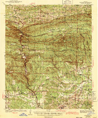
1943 · Antoine
USGS Topo · 1:62,500
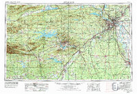
1955 · Little Rock
USGS Topo · 1:250,000
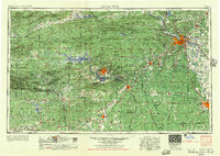
1956 · Little Rock
USGS Topo · 1:250,000
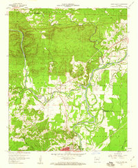
1959 · Caddo Valley
USGS Topo · 1:24,000
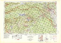
1960 · Little Rock
USGS Topo · 1:250,000
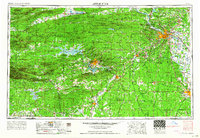
1964 · Little Rock
USGS Topo · 1:250,000
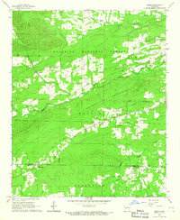
1966 · Pearcy
USGS Topo · 1:24,000
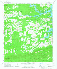
1966 · Hempwallace
USGS Topo · 1:24,000
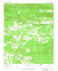
1966 · De Roche
USGS Topo · 1:24,000
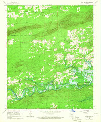
1966 · Point Cedar
USGS Topo · 1:24,000