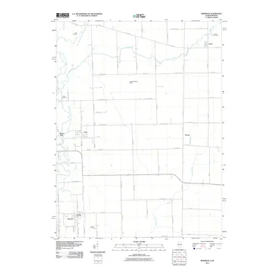
2010 Map of Bismarck
USGS Topo · Published 2010About this map
Bismarck and the surrounding farmland of Vermilion County are defined by the convergence of several waterways, including the North Fork Vermilion River and the meandering Middle Branch North Fork Vermilion River. The landscape is a structured grid of rural roads punctuated by small settlements like Alvin and Thomas. Local history and genealogy are anchored by several scattered burial grounds, such as Rose Cemetery and Miller Cemetery, which reflect the area's agricultural development. The presence of the James M Adams Airport and the Bismarck Post Office indicates a settled infrastructure that serves the various townships. Along the western edge, Barlow Park provides a dedicated green space near the river, while Stoney Creek and Painter Creek drain the eastern and southern portions of the territory. This 2010 survey offers a detailed look at the rural township structure and small-town footprints in eastern Illinois.
Find a feature on this map
64 named features on this map. Tap any name to fly to it.
Don’t see what you’re looking for? This feature index may not catch every label — zoom into the map to look around manually.
Map Details
Editions of this 2010 Bismarck Map
This is the sole edition of this map. No revisions or reprints were ever made.
Other maps of this area

1899 · Danville
USGS Topo · 1:62,500

1900 · Danville
USGS Topo · 1:62,500

1933 · Hoopeston
USGS Topo · 1:48,000

1938 · Hoopeston
USGS Topo · 1:62,500

1948 · Danville NW
USGS Topo · 1:24,000

1950 · Danville NW
USGS Topo · 1:24,000

1950 · Danville NE
USGS Topo · 1:24,000

1951 · Danville NE
USGS Topo · 1:24,000

1953 · Danville
USGS Topo · 1:250,000

1955 · Danville
USGS Topo · 1:250,000