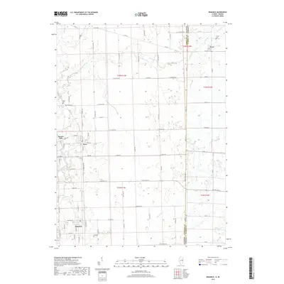
2018 Map of Bismarck
USGS Topo · Published 2018About this map
Bismarck and the surrounding farmland of Vermilion County sit at the heart of this 2018 survey, capturing the agricultural landscape along the Illinois-Indiana state line. The map illustrates a region defined by its sections and range lines, where small settlements like Alvan and Pence are linked by a precise grid of county roads such as Co Hwy 14 and Manns Chapel Rd.
Find a feature on this map
82 named features on this map. Tap any name to fly to it.
Don’t see what you’re looking for? This feature index may not catch every label — zoom into the map to look around manually.
Map Details
Editions of this 2018 Bismarck Map
This is the sole edition of this map. No revisions or reprints were ever made.
Other maps of this area
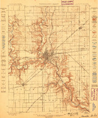
1899 · Danville
USGS Topo · 1:62,500
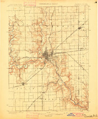
1900 · Danville
USGS Topo · 1:62,500
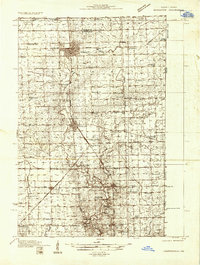
1933 · Hoopeston
USGS Topo · 1:48,000
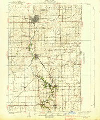
1938 · Hoopeston
USGS Topo · 1:62,500
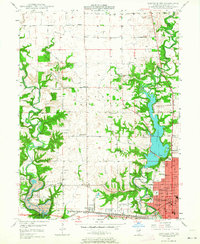
1948 · Danville NW
USGS Topo · 1:24,000
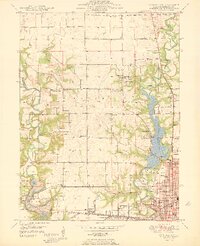
1950 · Danville NW
USGS Topo · 1:24,000
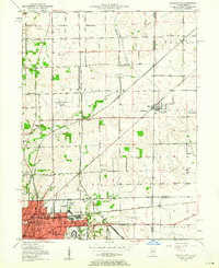
1950 · Danville NE
USGS Topo · 1:24,000
1951 · Danville NE
USGS Topo · 1:24,000
1953 · Danville
USGS Topo · 1:250,000
1955 · Danville
USGS Topo · 1:250,000