1947 Map of Bissell
USGS Topo · Published 1947About this map
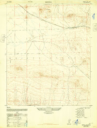
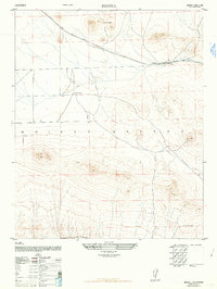
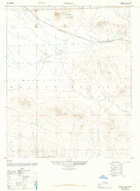
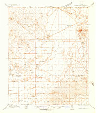
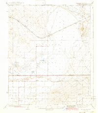
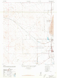
Atchison Topeka and Santa Fe railroad tracks cut a straight path across this arid landscape, anchoring the small settlement of Bissell. This 1947 Army Map Service compilation, derived from aerial photography, shows a remote section of the Mojave Desert characterized by isolated homesteads and rugged topography. Local life is centered around family-named outposts such as De Stazo Ranch in the north and E Brown Ranch further south. The map's detail, including unimproved dirt roads and trails, reveals a region defined more by its natural contours and rail transit than by dense settlement, offering a precise look at the high desert just before mid-century expansion.
Find a feature on this map
5 named features on this map. Tap any name to fly to it.
Don’t see what you’re looking for? This feature index may not catch every label — zoom into the map to look around manually.
Map Details
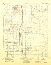
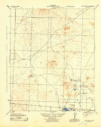
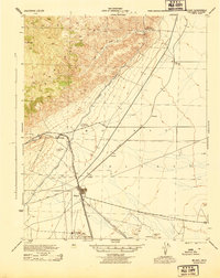
Editions of this 1947 Bissell Map
3 editions found
Other maps of this area

1915 · Elizabeth Lake
USGS Topo · 1:125,000

1915 · Searles Lake
USGS Topo · 1:250,000

1915 · Mojave
USGS Topo · 1:125,000

1917 · Elizabeth Lake
USGS Topo · 1:125,000
1937 · Rogers Lake
USGS Topo · 1:48,000
1942 · Rogers Lake
USGS Topo · 1:62,500
1943 · Rosamond
USGS Topo · 1:62,500
1943 · Castle Butte
USGS Topo · 1:62,500
1943 · Mojave
USGS Topo · 1:62,500
1947 · Fluhr
USGS Topo · 1:24,000