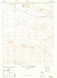
1947 Map of Bissell
USGS Topo · Published 1966About this map
Mojave Desert terrain dominates this 1947 topographic record, revealing a landscape defined by the strategic routes of the Atchison Topeka and Santa Fe railroad. The steel rails cut across the northern section of the map, providing a vital transport artery through the arid Kern County plains. Small clusters of human activity are sparse, concentrated around the settlement of Bissell and isolated outposts such as De Stazo Ranch and the E Brown Ranch. These ranching sites reflect the precarious nature of rural settlement in this region during the mid-twentieth century. The intricate contour lines illustrate the complex desert topography, where dry washes and subtle elevations created both challenges and opportunities for the ranchers and railroad engineers who shaped the local economy.
Find a feature on this map
5 named features on this map. Tap any name to fly to it.
Don’t see what you’re looking for? This feature index may not catch every label — zoom into the map to look around manually.
Map Details
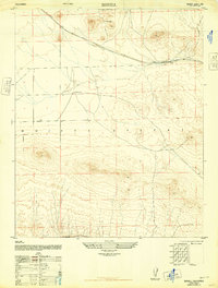
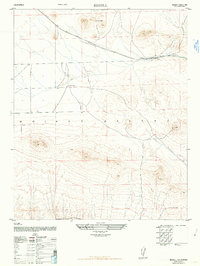
Editions of this 1947 Bissell Map
3 editions found
Other maps of this area

1915 · Elizabeth Lake
USGS Topo · 1:125,000

1915 · Searles Lake
USGS Topo · 1:250,000

1915 · Mojave
USGS Topo · 1:125,000

1917 · Elizabeth Lake
USGS Topo · 1:125,000

1937 · Rogers Lake
USGS Topo · 1:48,000

1942 · Rogers Lake
USGS Topo · 1:62,500

1943 · Rosamond
USGS Topo · 1:62,500

1943 · Castle Butte
USGS Topo · 1:62,500

1943 · Mojave
USGS Topo · 1:62,500

1947 · Fluhr
USGS Topo · 1:24,000