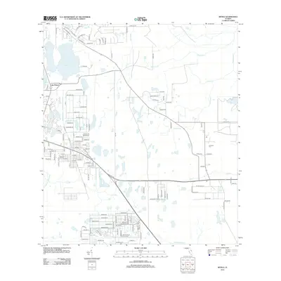
2012 Map of Bithlo
USGS Topo · Published 2012About this map
The Econlockhatchee River and its complex network of tributaries define this part of Orange County, where the transition from suburban expansion to Florida's sprawling wetlands is clearly visible. To the west, the settlement of Bithlo shows a dense residential grid, while to the east, the community of Christmas remains more dispersed among the creeks. Notable water bodies like Lake Pickett and Lake Louise anchor the northwestern corner, surrounded by developments reached by roads like Fort Christmas Rd and Old Lake Pickett Rd. The landscape is dominated by seasonal drainage patterns, with Tootoosahatchee Cr and Christmas Cr carving through the low-lying terrain. The presence of the Christmas Cem and numerous named branches like Roberts Br and Silcox Br provide specific points of interest for those tracking local land use and family history in this ecologically diverse corridor.
Find a feature on this map
144 named features on this map. Tap any name to fly to it.
Don’t see what you’re looking for? This feature index may not catch every label — zoom into the map to look around manually.
Map Details
Editions of this 2012 Bithlo Map
This is the sole edition of this map. No revisions or reprints were ever made.
Other maps of this area

1950 · Aurantia
USGS Topo · 1:24,000

1953 · Narcoossee NE
USGS Topo · 1:24,000

1953 · Geneva
USGS Topo · 1:24,000

1953 · Titusville SW
USGS Topo · 1:24,000

1953 · Oviedo SW
USGS Topo · 1:24,000

1953 · Lake Poinsett NW
USGS Topo · 1:24,000

1953 · Narcoossee NW
USGS Topo · 1:24,000

1953 · Bithlo
USGS Topo · 1:24,000

1955 · Orlando
USGS Topo · 1:250,000

1956 · Oviedo
USGS Topo · 1:24,000