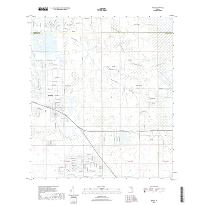
2018 Map of Bithlo
USGS Topo · Published 2018About this map
The community of Bithlo and the neighboring settlement of Christmas define the eastern interior of Orange County in this 2018 survey. The landscape is a intricate network of wetlands and water bodies, most notably Lake Pickett, Lake Louise, and the sprawling Puzzle Lake along the northern edge of the quadrangle. For those studying the outdoors or local geography, the Florida National Scenic Trail winds through the eastern half of the map, crossing Joshua Cr and Christmas Cr as it traverses the low-lying terrain.
Find a feature on this map
142 named features on this map. Tap any name to fly to it.
Don’t see what you’re looking for? This feature index may not catch every label — zoom into the map to look around manually.
Map Details
Editions of this 2018 Bithlo Map
This is the sole edition of this map. No revisions or reprints were ever made.
Other maps of this area

1950 · Aurantia
USGS Topo · 1:24,000

1953 · Narcoossee NE
USGS Topo · 1:24,000

1953 · Geneva
USGS Topo · 1:24,000

1953 · Titusville SW
USGS Topo · 1:24,000

1953 · Oviedo SW
USGS Topo · 1:24,000

1953 · Lake Poinsett NW
USGS Topo · 1:24,000

1953 · Narcoossee NW
USGS Topo · 1:24,000

1953 · Bithlo
USGS Topo · 1:24,000

1955 · Orlando
USGS Topo · 1:250,000

1956 · Oviedo
USGS Topo · 1:24,000