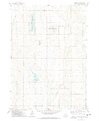
1973 Map of Bitter Lake
USGS Topo · Published 1978About this map
Bitter Lake and its surrounding wetlands dominate this prairie landscape in Miner County, illustrating a region dedicated to conservation and seasonal water management in the early 1970s. The presence of the Bitter Lake State Public Shooting Area, the Burke Slough State Public Shooting Area, and multiple locations designated as a National Waterfowl Production Area underscores the importance of the Central Flyway. These public lands are interspersed with agricultural features, including several Gravel Pits and the Roswell Cem near the Roswell Corporate Boundary. Local drainage is defined by the wandering paths of Pooley Creek and Rock Creek, while a lonely Townhall stands at a rural crossroads, serving as a center for the surrounding townships of Clinton and Rock Creek.
Find a feature on this map
20 named features on this map. Tap any name to fly to it.
Don’t see what you’re looking for? This feature index may not catch every label — zoom into the map to look around manually.
Map Details
Editions of this 1973 Bitter Lake Map
This is the sole edition of this map. No revisions or reprints were ever made.
Other maps of this area

1899 · Alexandria
USGS Topo · 1:125,000

1899 · De Smet
USGS Topo · 1:125,000

1953 · Watertown
USGS Topo · 1:250,000

1955 · Sioux Falls
USGS Topo · 1:250,000

1958 · Sioux Falls
USGS Topo · 1:250,000

1958 · Watertown
USGS Topo · 1:250,000

1971 · Fedora
USGS Topo · 1:24,000

1971 · Howard
USGS Topo · 1:24,000
1972 · Roswell
USGS Topo · 1:24,000
1973 · Morris Lake
USGS Topo · 1:24,000