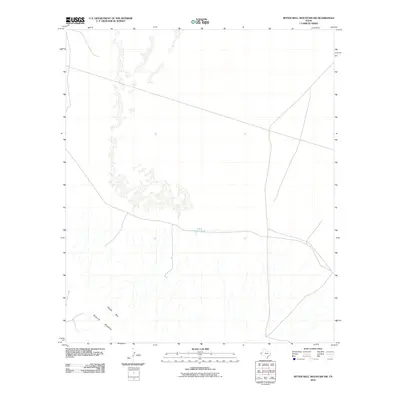
2010 Map of Bitter Well Mountain SW
USGS Topo · Published 2010About this map
The high plateau and escarpment of the Sierra Diablo mountain range define this portion of Culberson County. The rugged topography is characterized by the prominent Diablo Rim, where the elevated terrain drops off toward the east. This landscape reflects the sparse, arid ranching environment of West Texas in the early 21st century, where water management is critical for land use. A single named water feature, John Garner Tank, is situated near the center of the sheet, suggesting the reliance on catchment systems for livestock in a region otherwise dominated by dry arroyos and dramatic elevation changes. The map traces a network of local roads and unimproved trails that navigate the challenging contours of the rim.
Find a feature on this map
3 named features on this map. Tap any name to fly to it.
Don’t see what you’re looking for? This feature index may not catch every label — zoom into the map to look around manually.
Map Details
Editions of this 2010 Bitter Well Mountain SW Map
This is the sole edition of this map. No revisions or reprints were ever made.
Other maps of this area

1895 · Sierra Blanca
USGS Topo · 1:125,000

1906 · Van Horn
USGS Topo · 1:125,000

1954 · Van Horn
USGS Topo · 1:250,000

1955 · Black Mountains
USGS Topo · 1:62,500

1958 · Van Horn
USGS Topo · 1:250,000

1973 · Bitter Well Mountain NW
USGS Topo · 1:24,000

1973 · Bitter Well Mountain SW
USGS Topo · 1:24,000

1973 · Sneed Mountain NE
USGS Topo · 1:24,000

1973 · Apache Peak
USGS Topo · 1:24,000

1973 · Bitter Well Mountain
USGS Topo · 1:24,000