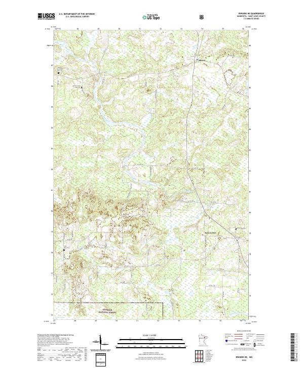
2022 Map of Biwabik NE
USGS Topo · Published 2022About this map
The Pike River meanders through a landscape defined by its Finnish heritage and rural settlements in northern St. Louis County. This 2022 survey captures the community of Wahlsten and Salo Corner, where the road network follows established township lines and family-named routes such as Lehto Rd and Heitala Rd. The map is particularly valuable for genealogical research, documenting several distinct burial grounds including the Town of Vermilion Lake Cem, the Old Vermilion Lake Cem, and the Embarrass Cem. Part of the Superior National Forest extends into the southern reaches of the quadrangle, where the Embarrass River and Lohr Lake mark the transition toward more densely forested terrain. The distribution of these cemeteries and family roads reflects the deep roots of the local homesteading families in this part of the Iron Range region.
Find a feature on this map
58 named features on this map. Tap any name to fly to it.
Don’t see what you’re looking for? This feature index may not catch every label — zoom into the map to look around manually.
Map Details
Editions of this 2022 Biwabik NE Map
This is the sole edition of this map. No revisions or reprints were ever made.
Other maps of this area

1949 · Aurora
USGS Topo · 1:24,000

1949 · Embarrass
USGS Topo · 1:24,000

1950 · Embarrass
USGS Topo · 1:24,000

1950 · Aurora
USGS Topo · 1:24,000

1950 · Biwabik
USGS Topo · 1:24,000

1950 · Mc Kinley
USGS Topo · 1:24,000

1950 · Biwabik NW
USGS Topo · 1:24,000

1950 · Biwabik NE
USGS Topo · 1:24,000

1951 · Biwabik
USGS Topo · 1:24,000

1951 · Mc Kinley
USGS Topo · 1:24,000