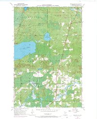
1950 Map of Biwabik NW
USGS Topo · Published 1971About this map
Big Rice Lake and the winding Sand River dominate this pocket of the Iron Range, where the landscape is defined by the overlapping boundaries of the Kabetogama State Forest, Vermilion Lake State Forest, and Superior National Forest. This 1950 survey, updated with 1969 aerial data, reveals a sparse but established network of rural community landmarks. The settlement at Florenton Po serves as a central point for the surrounding area, which includes School No. 14 and several religious and commemorative sites. Along the southern reaches, the Pike River meanders toward the east, passing near the Pike Ch and West Pike Cem. The presence of a small Gravel Pit hints at the local infrastructure needs of the mid-century, while the numerous lakes like Pfeiffer Lake and Fawn Lake highlight the characteristic glacial terrain of northern St. Louis County.
Find a feature on this map
20 named features on this map. Tap any name to fly to it.
Don’t see what you’re looking for? This feature index may not catch every label — zoom into the map to look around manually.
Map Details
Editions of this 1950 Biwabik NW Map
5 editions found
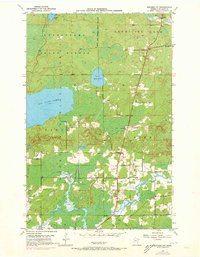
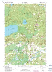
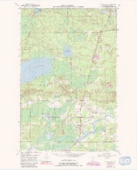
Other maps of this area

1950 · Biwabik
USGS Topo · 1:24,000

1950 · Mc Kinley
USGS Topo · 1:24,000

1950 · Biwabik NW
USGS Topo · 1:24,000

1950 · Biwabik NE
USGS Topo · 1:24,000

1951 · Biwabik
USGS Topo · 1:24,000

1951 · Mc Kinley
USGS Topo · 1:24,000

1951 · Biwabik NE
USGS Topo · 1:24,000

1951 · Biwabik NW
USGS Topo · 1:24,000

1951 · Virginia
USGS Topo · 1:24,000

1951 · Britt
USGS Topo · 1:24,000