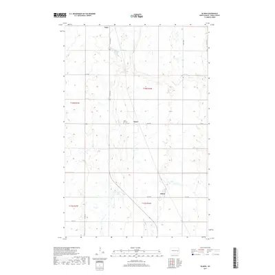
2017 Map of Blabon
USGS Topo · Published 2017About this map
Finley and Pickert sit within a landscape of Steele County defined by its glacial prairie potholes and the meandering course of the Maple River. This 2017 survey shows the agricultural grid of the Red River Valley upland, where large section blocks are carved by local routes like Co Hwy 11 and 127th Ave NE. Genealogy researchers will find the Saint Petri Cem located centrally near Pickert, serving as a primary local landmark for the surrounding farming community. The southern portion of the map includes the small settlement of Blabon, positioned along Co Hwy 8A. The presence of Lynch Lake and numerous unnamed wetlands throughout the northern townships reflects the characteristic hydrography of the region, where seasonal water and drainage patterns heavily influence land use and road placement.
Find a feature on this map
19 named features on this map. Tap any name to fly to it.
Don’t see what you’re looking for? This feature index may not catch every label — zoom into the map to look around manually.
Map Details
Editions of this 2017 Blabon Map
This is the sole edition of this map. No revisions or reprints were ever made.
Other maps of this area

1952 · Grand Forks
USGS Topo · 1:250,000

1956 · Grand Forks
USGS Topo · 1:250,000

1966 · Grand Forks
USGS Topo · 1:250,000

1967 · Blabon
USGS Topo · 1:24,000

1967 · Finley
USGS Topo · 1:24,000
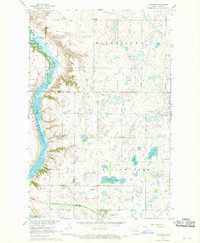
1967 · Luverne
USGS Topo · 1:24,000
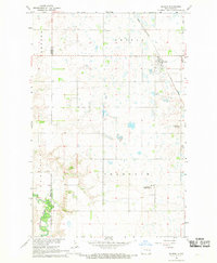
1967 · Sharon
USGS Topo · 1:24,000
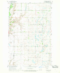
1967 · Luverne NW
USGS Topo · 1:24,000

1967 · Luverne SE
USGS Topo · 1:24,000

1968 · Sherbrooke
USGS Topo · 1:24,000