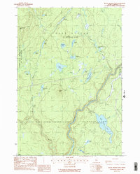
1988 Map of Black Brook Pond
USGS Topo · Published 1988About this map
The Kennebec River carves a deep path through this Somerset County landscape, marking the boundary between West Forks Plantation and Moxie Gore. Compiled from 1983 aerial photography, this survey captures a remote wilderness dominated by timber management and water resources, evidenced by the presence of a Gravel Pit and numerous named ponds like Black Brook Pond, Long Pond, and Ellis Pond.
Find a feature on this map
31 named features on this map. Tap any name to fly to it.
Don’t see what you’re looking for? This feature index may not catch every label — zoom into the map to look around manually.
Map Details
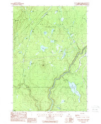
Editions of this 1988 Black Brook Pond Map
2 editions found
Other maps of this area

1905 · The Forks
USGS Topo · 1:62,500

1907 · The Forks
USGS Topo · 1:62,500

1921 · Brassua Lake
USGS Topo · 1:62,500

1922 · Long Pond
USGS Topo · 1:62,500

1923 · Brassua Lake
USGS Topo · 1:62,500

1924 · Long Pond
USGS Topo · 1:62,500

1925 · Pierce Pond
USGS Topo · 1:48,000

1927 · Pierce Pond
USGS Topo · 1:62,500

1944 · Brassua Lake
USGS Topo · 1:62,500

1944 · Long Pond
USGS Topo · 1:62,500
Featured Places
- West Forks, ME
- Squaretown Township, ME
- Johnson Mountain Township, ME
- Chase Stream Township, ME
- Moxie Gore, ME