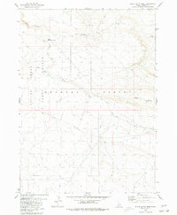
1980 Map of Black Butte West
USGS Topo · Published 1980About this map
Bruneau Desert terrain defines this arid landscape in Owyhee County, where the extensive Saylor Creek Air Force Range occupies the western portion of the quadrangle. The map documents a sparsely settled region shaped by volcanic features and essential water management for livestock, evidenced by the presence of a Corral and Pot Hole Reservoir. Drainage is primarily defined by the winding course of Pot Hole Creek and the steep walls of Pot Hole Canyon. Distinctive landforms such as Black Butte and Sailor Cap Butte serve as prominent landmarks across the high desert floor. Transportation through this remote stretch is minimal, anchored by the Lower Black Butte Crossing, reflecting the area's ongoing use for military training and rangeland at the time of the 1980 survey.
Find a feature on this map
10 named features on this map. Tap any name to fly to it.
Don’t see what you’re looking for? This feature index may not catch every label — zoom into the map to look around manually.
Map Details
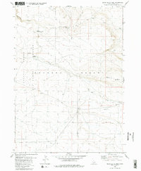
Editions of this 1980 Black Butte West Map
2 editions found
Other maps of this area

1948 · Indian Cove
USGS Topo · 1:62,500

1948 · Glenns Ferry
USGS Topo · 1:62,500

1948 · Pence Butte
USGS Topo · 1:24,000

1948 · Grindstone Butte
USGS Topo · 1:24,000
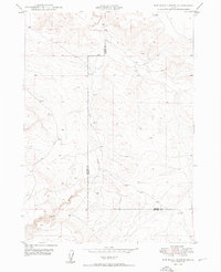
1949 · Pot Hole Canyon
USGS Topo · 1:24,000
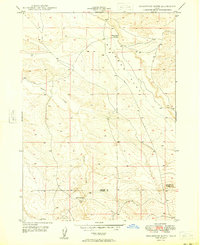
1949 · Grindstone Butte
USGS Topo · 1:24,000
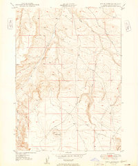
1949 · Pence Butte
USGS Topo · 1:24,000
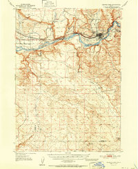
1951 · Glenns Ferry
USGS Topo · 1:62,500

1955 · Twin Falls
USGS Topo · 1:250,000

1956 · Blue Butte
USGS Topo · 1:62,500