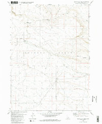
1980 Map of Black Butte West
USGS Topo · Published 1980About this map
The Saylor Creek Air Force Range dominates the western half of this Idaho high-desert landscape, established as a military training area within the wider Bruneau Desert. The terrain is defined by dry drainage systems and volcanic features, most notably the prominent Black Butte and the smaller Sailor Cap Butte to the northwest. Land use in this arid region is reflected in scattered ranching infrastructure, such as the Corral found in the southeastern sector. Water, though scarce, is traced through the winding paths of Pot Hole Canyon and Pot Hole Creek, leading toward the Pot Hole Reservoir. In the north, the Lower Black Butte Crossing suggests a established route across the canyon floor, likely serving as a critical point for local navigation through the sagebrush and lava fields of Owyhee County during the late twentieth century.
Find a feature on this map
10 named features on this map. Tap any name to fly to it.
Don’t see what you’re looking for? This feature index may not catch every label — zoom into the map to look around manually.
Map Details
Editions of this 1980 Black Butte West Map
2 editions found
Other maps of this area

1948 · Indian Cove
USGS Topo · 1:62,500

1948 · Glenns Ferry
USGS Topo · 1:62,500

1948 · Pence Butte
USGS Topo · 1:24,000

1948 · Grindstone Butte
USGS Topo · 1:24,000
1949 · Pot Hole Canyon
USGS Topo · 1:24,000
1949 · Grindstone Butte
USGS Topo · 1:24,000
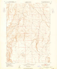
1949 · Pence Butte
USGS Topo · 1:24,000
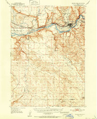
1951 · Glenns Ferry
USGS Topo · 1:62,500

1955 · Twin Falls
USGS Topo · 1:250,000

1956 · Blue Butte
USGS Topo · 1:62,500