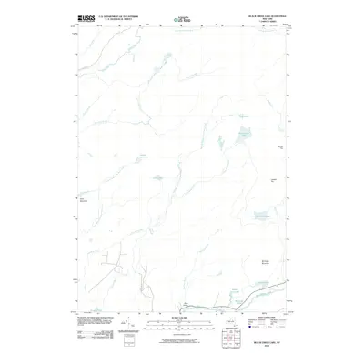
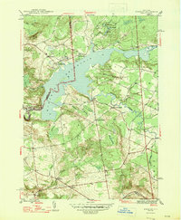
2010 Map of Black Creek Lake
USGS Topo · Published 2010About this map
West Canada Creek winds through the southern landscape of this Adirondack region, marking the deep cut of the Ohio Gorge near the settlement of Wilmurt. This 2010 survey illustrates a complex hydraulic network defined by numerous remote upland water bodies, including Black Creek Lake, North Branch Lake, and the connected Twin Lakes. The terrain is characterized by prominent peaks like McCauley Mountain and Round Top, which overlook a dense system of seasonal and perennial streams such as Mad Tom Brook and Little Black Creek. Very few roads penetrate this interior, with N Lake Rd and Furlong Rd providing the primary access points to the forested highlands. The distribution of lakes like Cotton Lake and Mill Creek Lake suggests a landscape largely shaped by glacial recession and drainage patterns flowing toward the Black River and West Canada Creek watersheds.
Find a feature on this map
33 named features on this map. Tap any name to fly to it.
Don’t see what you’re looking for? This feature index may not catch every label — zoom into the map to look around manually.
Map Details
Editions of this 2010 Black Creek Lake Map
This is the sole edition of this map. No revisions or reprints were ever made.
Other maps of this area

1897 · Remsen
USGS Topo · 1:62,500

1900 · Remsen
USGS Topo · 1:62,500

1900 · Wilmurt
USGS Topo · 1:62,500

1901 · Old Forge
USGS Topo · 1:62,500

1902 · Wilmurt
USGS Topo · 1:62,500

1912 · Mc Keever
USGS Topo · 1:62,500
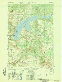
1946 · Hinckley
USGS Topo · 1:25,000
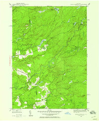
1946 · North Wilmurt
USGS Topo · 1:24,000
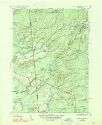
1947 · North Wilmurt
USGS Topo · 1:31,680
1947 · Hinckley
USGS Topo · 1:31,680